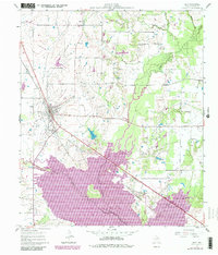
1961 Map of Kemp
USGS Topo · Published 1982About this map
Kemp serves as the central hub of this Kaufman County survey, positioned at the junction of the Southern Pacific railroad and major roadways like 175. The map captures a landscape in transition, most notably marked by the expansive Cedar Creek Reservoir which dominates the southern portion of the quadrangle. This massive water project altered the local drainage of Kings Creek and Lacy Fork, reshaping the rural environment south of the main settlement.
Find a feature on this map
20 named features on this map. Tap any name to fly to it.
Don’t see what you’re looking for? This feature index may not catch every label — zoom into the map to look around manually.
Map Details
Editions of this 1961 Kemp Map
4 editions found
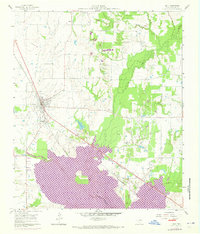
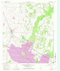
Other maps of this area

1920 · Kemp
USGS Topo · 1:62,500

1954 · Dallas
USGS Topo · 1:250,000

1956 · Kaufman
USGS Topo · 1:62,500

1957 · Kemp
USGS Topo · 1:62,500

1958 · Dallas
USGS Topo · 1:250,000

1960 · Tool
USGS Topo · 1:24,000

1960 · Mabank
USGS Topo · 1:24,000

1960 · Grays Prairie
USGS Topo · 1:24,000

1961 · Kemp
USGS Topo · 1:24,000

1962 · Prairieville
USGS Topo · 1:24,000