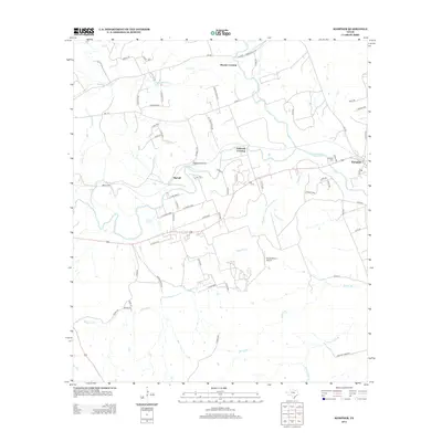
2013 Map of Kempner
USGS Topo · Published 2013About this map
The Lampasas River winds through this Central Texas landscape, anchoring a rural network of small crossings and creek-side settlements. Near the eastern edge, the town of Kempner serves as the primary hub, while smaller locales like Shortall and Brooks Crossing mark historical points of interest along the drainage basins of Lucy Cr and Road Hollow Cr. To the north, the river is bridged at Hallmark Crossing, illustrating the area's continued reliance on specific river access points for local connectivity.
Find a feature on this map
70 named features on this map. Tap any name to fly to it.
Don’t see what you’re looking for? This feature index may not catch every label — zoom into the map to look around manually.
Map Details
Editions of this 2013 Kempner Map
This is the sole edition of this map. No revisions or reprints were ever made.
Other maps of this area

1887 · Lampasas
USGS Topo · 1:125,000

1887 · Burnet
USGS Topo · 1:125,000

1893 · Georgetown
USGS Topo · 1:125,000

1893 · Burnet
USGS Topo · 1:125,000

1894 · Lampasas
USGS Topo · 1:125,000

1894 · Gatesville
USGS Topo · 1:125,000

1903 · Burnet
USGS Topo · 1:125,000

1909 · Burnet
USGS Topo · 1:125,000

1947 · Fort Hood
USGS Topo · 1:62,500

1947 · Twin Moutains
USGS Topo · 1:24,000