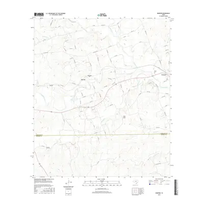
2016 Map of Kempner
USGS Topo · Published 2016About this map
The Lampasas River and its numerous tributaries, including Sulphur Creek and Lucy Creek, define the topography of this central Texas landscape. Situated along the corridor of Highway 190, the town of Kempner serves as a primary settlement, while the smaller community of Shortall sits to the west near the distinctive geological features of Deadmans Cut and Blue Cut. These "cuts" likely suggest the path of local infrastructure through the varied terrain of the Balcones Escarpment region.
Find a feature on this map
76 named features on this map. Tap any name to fly to it.
Don’t see what you’re looking for? This feature index may not catch every label — zoom into the map to look around manually.
Map Details
Editions of this 2016 Kempner Map
This is the sole edition of this map. No revisions or reprints were ever made.
Other maps of this area

1887 · Lampasas
USGS Topo · 1:125,000

1887 · Burnet
USGS Topo · 1:125,000

1893 · Georgetown
USGS Topo · 1:125,000

1893 · Burnet
USGS Topo · 1:125,000

1894 · Lampasas
USGS Topo · 1:125,000

1894 · Gatesville
USGS Topo · 1:125,000

1903 · Burnet
USGS Topo · 1:125,000

1909 · Burnet
USGS Topo · 1:125,000

1947 · Fort Hood
USGS Topo · 1:62,500

1947 · Twin Moutains
USGS Topo · 1:24,000