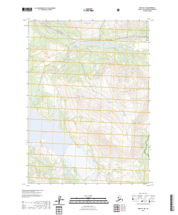
2024 Map of Kenai B-1 NE
USGS Topo · Published 2024About this map
Mystery Hills and the massive southern slopes of Russian Mtn define this section of the Kenai Peninsula, where the glacial waters of the Kenai River feed into the expansive Skilak Lake. The map details a landscape managed by several federal agencies, including the Kenai National Wildlife Refuge and the Kenai Wilderness (Andrew Simons Unit). Human access is concentrated along the northern corridor, where the Sterling Highway and Skilak Lake Road provide entry points to an extensive trail network.
Find a feature on this map
29 named features on this map. Tap any name to fly to it.
Don’t see what you’re looking for? This feature index may not catch every label — zoom into the map to look around manually.
Map Details
Editions of this 2024 Kenai B-1 NE Map
This is the sole edition of this map. No revisions or reprints were ever made.
Other maps of this area

1944 · Kenai
USGS Topo · 1:250,000

1950 · Kenai
USGS Topo · 1:250,000

1950 · Kenai B-1
USGS Topo · 1:63,360

1951 · Seward
USGS Topo · 1:250,000

1951 · Kenai C-1
USGS Topo · 1:63,360

1951 · Seward C-8
USGS Topo · 1:63,360

1951 · Seward B-8
USGS Topo · 1:63,360

1952 · Kenai C-1
USGS Topo · 1:63,360

1952 · Kenai B-1
USGS Topo · 1:63,360

1952 · Seward C-8
USGS Topo · 1:63,360