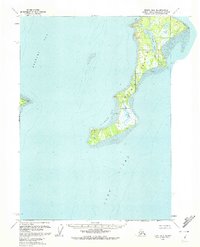
1958 Map of Kenai B-6
USGS Topo · Published 1972About this map
Kalgin Island dominates this mid-century survey, situated within the waters of Cook Inlet and Redoubt Bay. The island's geography is defined by a mix of interior wetlands and coastal features, including the notable Packers Lake and its outlet via Packers Creek to the east. The landscape reveals a pattern of seasonal or temporary habitation, indicated by isolated Cabin locations found near the northern reaches at Cobbe Cove and along the central eastern shore. Significant Tidal Flat areas surround much of the island, particularly near Oldmans Bay and the mouth of Swamp Creek, reflecting the dramatic maritime environment of the Kenai Peninsula. Across the water to the west, the mainland is anchored by the landmark at Harriet Point.
Find a feature on this map
14 named features on this map. Tap any name to fly to it.
Don’t see what you’re looking for? This feature index may not catch every label — zoom into the map to look around manually.
Map Details
Editions of this 1958 Kenai B-6 Map
2 editions found
Other maps of this area

1944 · Kenai
USGS Topo · 1:250,000

1950 · Kenai
USGS Topo · 1:250,000

1951 · Kenai A-5
USGS Topo · 1:63,360

1952 · Kenai A-5
USGS Topo · 1:63,360
1958 · Kenai A-7
USGS Topo · 1:63,360

1958 · Kenai B-7
USGS Topo · 1:63,360

1958 · Kenai C-5
USGS Topo · 1:63,360

1958 · Kenai C-6
USGS Topo · 1:63,360

1958 · Kenai C-7
USGS Topo · 1:63,360
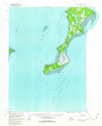
1958 · Kenai B-6
USGS Topo · 1:63,360