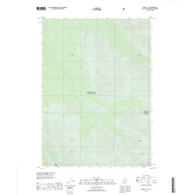
2017 Map of Kenai C-1 SE
USGS Topo · Published 2017About this map
Kenai National Wildlife Refuge dominates the landscape of this 2017 survey, representing a vast expanse of protected wilderness on the Kenai Peninsula. The terrain is defined by significant elevations, including the Mystery Hills and Round Mtn, which provide a backdrop for a complex network of drainage systems. Waterways such as Mystery Cr, Thurman Cr, and Dike Cr wind through the topography, feeding into interior bodies like Fuller Lake and Jean Lake.
Find a feature on this map
15 named features on this map. Tap any name to fly to it.
Don’t see what you’re looking for? This feature index may not catch every label — zoom into the map to look around manually.
Map Details
Editions of this 2017 Kenai C-1 SE Map
This is the sole edition of this map. No revisions or reprints were ever made.
Other maps of this area

1944 · Kenai
USGS Topo · 1:250,000

1950 · Kenai
USGS Topo · 1:250,000

1950 · Kenai B-1
USGS Topo · 1:63,360

1951 · Seward
USGS Topo · 1:250,000

1951 · Kenai C-1
USGS Topo · 1:63,360

1951 · Seward C-8
USGS Topo · 1:63,360

1951 · Seward B-8
USGS Topo · 1:63,360

1952 · Kenai C-1
USGS Topo · 1:63,360

1952 · Kenai B-1
USGS Topo · 1:63,360

1952 · Seward C-8
USGS Topo · 1:63,360