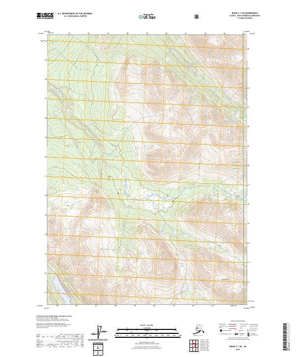
2024 Map of Kenai C-1 SE
USGS Topo · Published 2024About this map
The Mystery Hills dominate this portion of the Kenai Peninsula, where the Kenai Wilderness meets the western edge of the Chugach National Forest. This protected landscape is defined by its drainage systems, including Mystery Creek and Thurman Creek, which carve through high-elevation terrain. Human passage is concentrated along the southern corridor where the Sterling Highway follows the valley near Jean Lake. Outdoor recreation and access are highlighted by the presence of the Skyline Trl and Fuller Lakes Trl, which provide routes into the backcountry. The map illustrates a contemporary balance between a major transport artery and significant federal conservation lands, including the Kenai National Wildlife Refuge, preserving a notable segment of the Alaskan interior.
Find a feature on this map
18 named features on this map. Tap any name to fly to it.
Don’t see what you’re looking for? This feature index may not catch every label — zoom into the map to look around manually.
Map Details
Editions of this 2024 Kenai C-1 SE Map
This is the sole edition of this map. No revisions or reprints were ever made.
Other maps of this area

1944 · Kenai
USGS Topo · 1:250,000

1950 · Kenai
USGS Topo · 1:250,000

1950 · Kenai B-1
USGS Topo · 1:63,360

1951 · Seward
USGS Topo · 1:250,000

1951 · Kenai C-1
USGS Topo · 1:63,360

1951 · Seward C-8
USGS Topo · 1:63,360

1951 · Seward B-8
USGS Topo · 1:63,360

1952 · Kenai C-1
USGS Topo · 1:63,360

1952 · Kenai B-1
USGS Topo · 1:63,360

1952 · Seward C-8
USGS Topo · 1:63,360