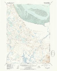
1952 Map of Kenai D-1
USGS Topo · Published 1954About this map
Chickaloon Bay and the silty expanse of Mud define the northern shoreline of this Kenai Peninsula region during the early 1950s. Much of the landscape is dominated by the Kenai National Moose Range, a complex network of wetlands and small water bodies including the Bedlam Lakes and Trapper Joe Lake. The inland geography is shaped by the winding course of the Chickaloon River and smaller tributaries like Pincher Creek and Bedlam Creek.
Find a feature on this map
18 named features on this map. Tap any name to fly to it.
Don’t see what you’re looking for? This feature index may not catch every label — zoom into the map to look around manually.
Map Details
Editions of this 1952 Kenai D-1 Map
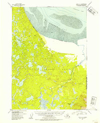
2 editions found
Other maps of this area

1944 · Kenai
USGS Topo · 1:250,000

1949 · Tyonek
USGS Topo · 1:250,000

1950 · Kenai
USGS Topo · 1:250,000

1951 · Seward
USGS Topo · 1:250,000

1951 · Anchorage
USGS Topo · 1:250,000

1951 · Tyonek
USGS Topo · 1:250,000

1951 · Kenai C-1
USGS Topo · 1:63,360

1951 · Kenai C-2
USGS Topo · 1:63,360

1951 · Kenai D-1
USGS Topo · 1:63,360

1951 · Kenai D-2
USGS Topo · 1:63,360