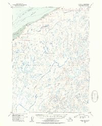
1952 Map of Kenai D-2
USGS Topo · Published 1954About this map
Kenai Moose Range dominates this landscape on the northern Kenai Peninsula, where a complex network of thousands of small lakes and wetlands defines the interior drainage. The Swanson River winds through the southern portion of the quadrangle, serving as a primary artery in a region largely devoid of roads or permanent infrastructure during the early 1950s. Along the shoreline of Cook Inlet, the terrain shifts to expansive Tidal Flats and a prominent Shoal extending from Moose Point. This coastal interface is marked by scattered Cabin sites and small clusters of Cabins, indicating seasonal subsistence or trapping activity. Higher ground is found at Birch Hill, providing a rare point of elevation overlooking the low-lying creeks like Otter Creek and Miller Creek. The map reflects a pre-development era in Alaska, focusing on the hydrography and natural topography of the muskeg and forest.
Find a feature on this map
15 named features on this map. Tap any name to fly to it.
Don’t see what you’re looking for? This feature index may not catch every label — zoom into the map to look around manually.
Map Details
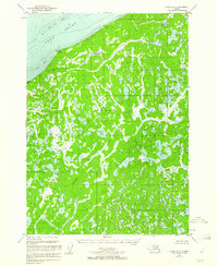
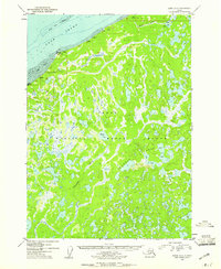
Editions of this 1952 Kenai D-2 Map
4 editions found

Other maps of this area

1944 · Kenai
USGS Topo · 1:250,000

1949 · Tyonek
USGS Topo · 1:250,000

1950 · Kenai
USGS Topo · 1:250,000

1950 · Kenai C-3
USGS Topo · 1:63,360

1951 · Tyonek
USGS Topo · 1:250,000

1951 · Kenai D-3
USGS Topo · 1:63,360

1951 · Kenai C-1
USGS Topo · 1:63,360

1951 · Kenai C-2
USGS Topo · 1:63,360

1951 · Kenai D-1
USGS Topo · 1:63,360

1951 · Kenai D-2
USGS Topo · 1:63,360