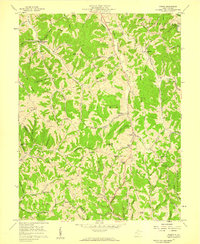
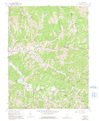
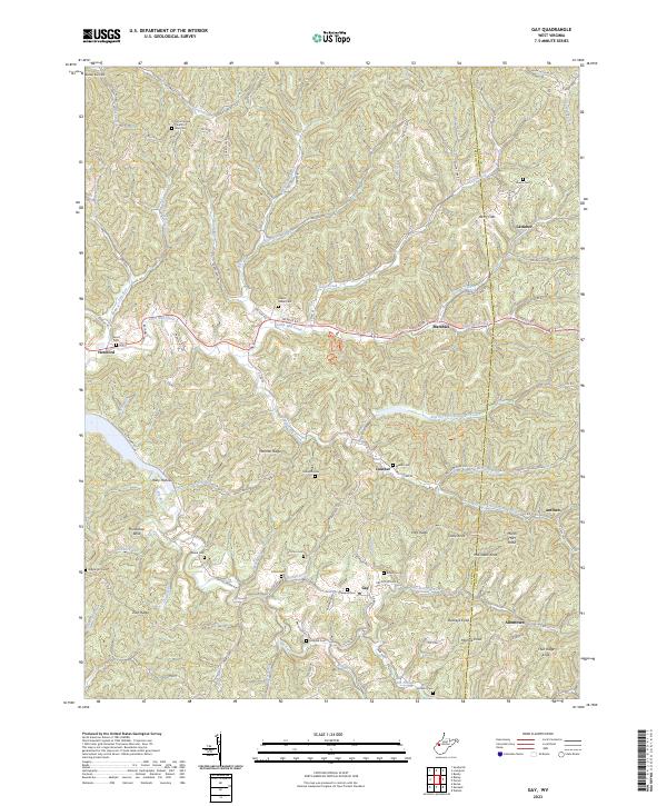
1957 Map of Kenna
USGS Topo · Published 1959This historical map portrays the area of Kenna in 1957, primarily covering Jackson County as well as portions of Kanawha County and Putnam County. Featuring a scale of 1:24000, this map provides a highly detailed snapshot of the terrain, roads, buildings, counties, and historical landmarks in the Kenna region at the time. Published in 1959, it is one of 2 known editions of this map due to revisions or reprints.
Find a feature on this map
91 named features on this map. Tap any name to fly to it.
Don’t see what you’re looking for? This feature index may not catch every label — zoom into the map to look around manually.
Map Details
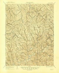
Editions of this 1957 Kenna Map
2 editions found
Historical Maps of Putnam County Through Time
15 maps found

1906 Kenna
Jackson County, WV
1907 Kenna
Jackson County, WV
1957 Kenna
Jackson County, WV
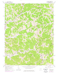
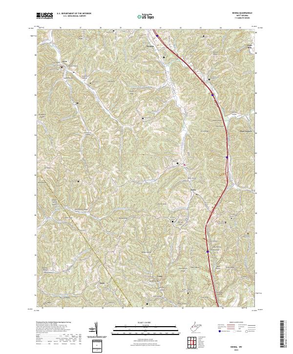
1957 Kentuck
Jackson County, WV
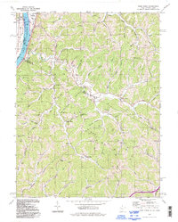
1960 Gay
Jackson County, WV
1960 Liverpool
Jackson County, WV
1960 Pond Creek
Jackson County, WV
1960 Sandyville
Jackson County, WV
1994 Pond Creek
Jackson County, WV
2023 Gay
Jackson County, WV
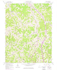
2023 Kenna
Jackson County, WV
2023 Kentuck
Jackson County, WV
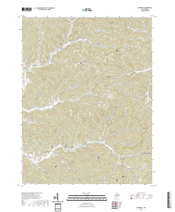
2023 Liverpool
Jackson County, WV
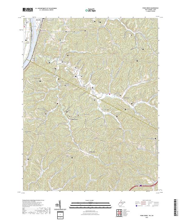
2023 Pond Creek
Jackson County, WV
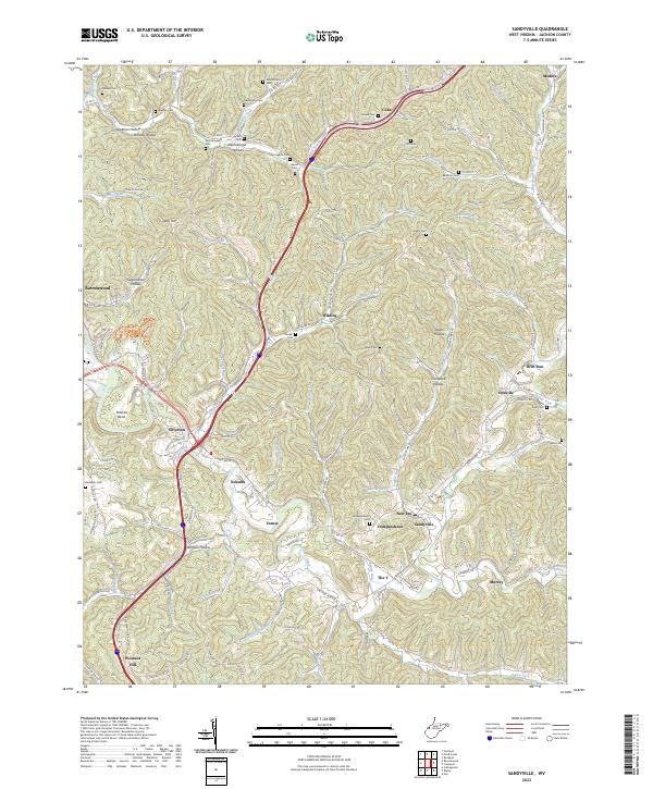
2023 Sandyville
Jackson County, WV