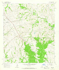
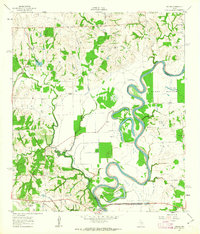
1963 Map of Kenney
USGS Topo · Published 1966About this map
Kenney and Phillipsburg serve as the primary hubs of activity in this 1960s rural landscape along the boundary of Washington and Austin counties. The local economy is defined by its intersection of rail and resource extraction, with the Gulf Colorado and Santa Fe railroad cutting through a terrain dotted with a Gravel Pit, Borrow Pit, and Claypit.
Find a feature on this map
29 named features on this map. Tap any name to fly to it.
Don’t see what you’re looking for? This feature index may not catch every label — zoom into the map to look around manually.
Map Details
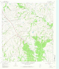
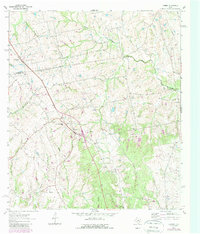
Editions of this 1963 Kenney Map
Other maps of this area

1930 · Brenham
USGS Topo · 1:62,500

1953 · Seguin
USGS Topo · 1:250,000

1954 · Austin
USGS Topo · 1:250,000

1956 · Bellville
USGS Topo · 1:62,500

1956 · Sealy
USGS Topo · 1:62,500

1956 · Hempstead
USGS Topo · 1:62,500

1956 · Brenham
USGS Topo · 1:62,500

1958 · Seguin
USGS Topo · 1:250,000
1961 · Burleigh
USGS Topo · 1:24,000
1961 · Daniels
USGS Topo · 1:24,000