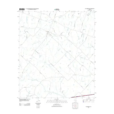
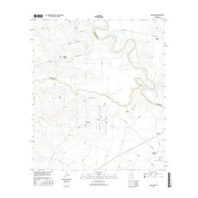
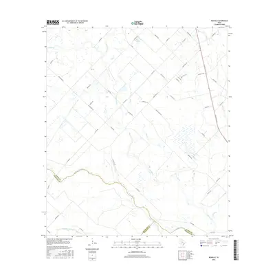
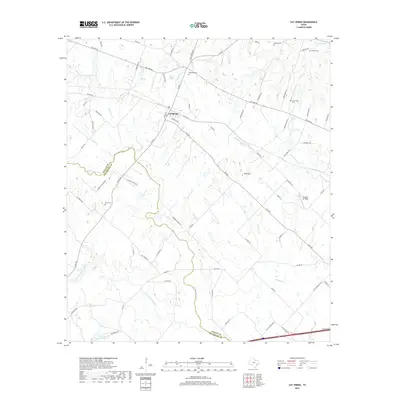
1963 Map of Kenney
USGS Topo · Published 1989About this map
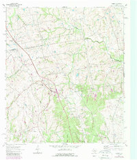
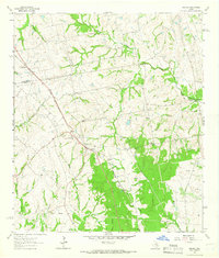
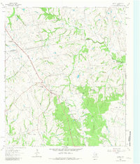
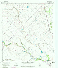
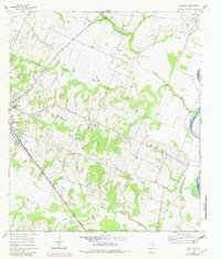
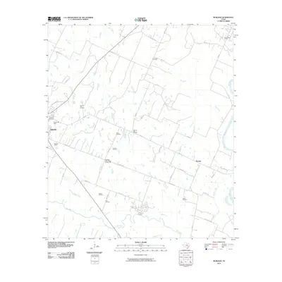
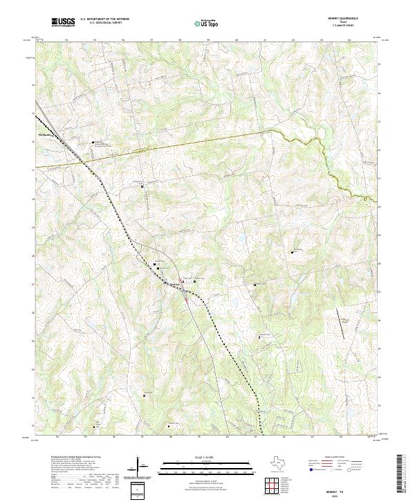
The boundary between Washington Co and Austin Co cuts diagonally across this landscape, centered on the settlement of Kenney. In the early 1960s, this area was defined by a network of rural schools and family cemeteries that speak to generations of local settlement. Along the railroad corridor, the map records the Kenney-New Wehdem Sch and a local Elem Sch, while churches like Concord Ch and Gilbert Chapel served the surrounding farmsteads. Several gravel and borrow pits are noted, suggesting the importance of local material extraction for road building and maintenance during this era.
Find a feature on this map
25 named features on this map. Tap any name to fly to it.
Don’t see what you’re looking for? This feature index may not catch every label — zoom into the map to look around manually.
Map Details
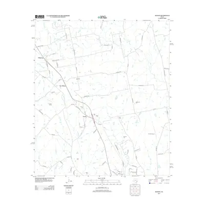
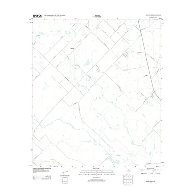
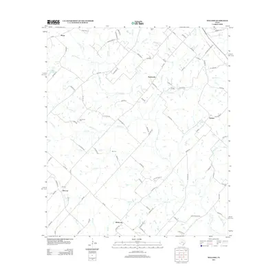
Editions of this 1963 Kenney Map
Historical Maps of Kenney Through Time
36 maps found
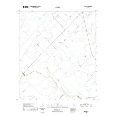
1960 Rexville
Austin County, TX
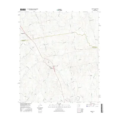
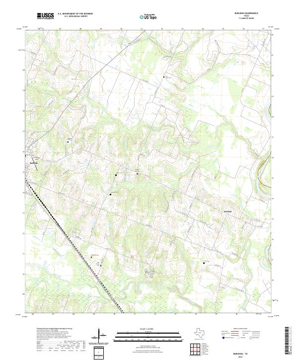
1961 Burleigh
Austin County, TX
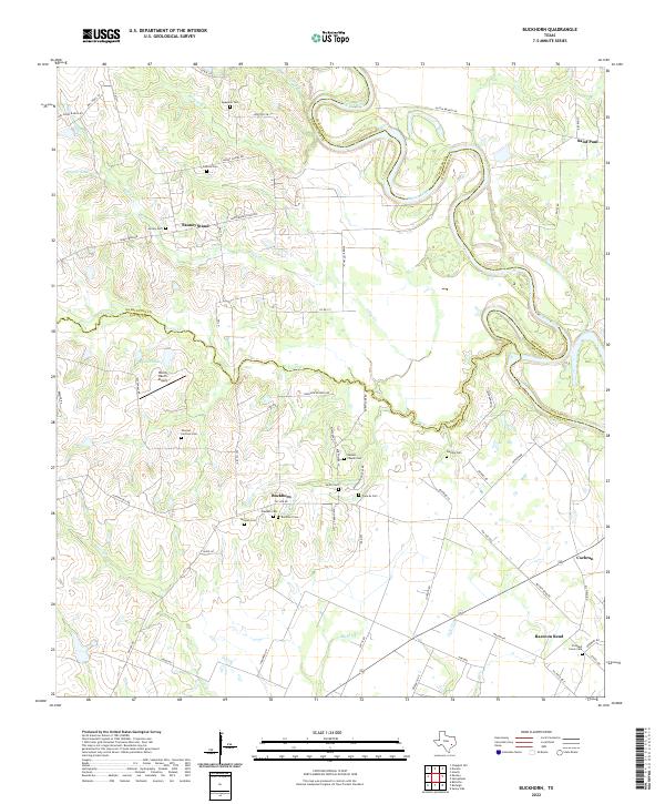
1962 Buckhorn
Austin County, TX
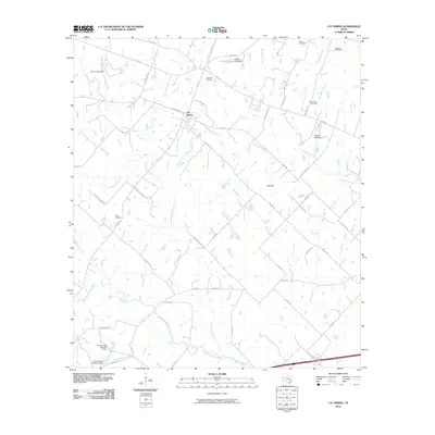
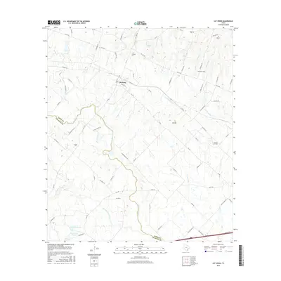
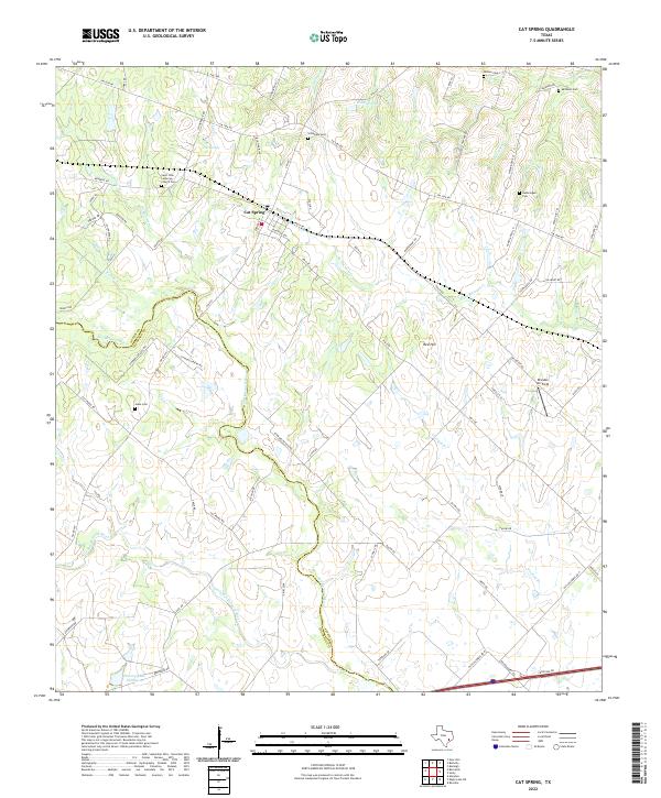
1963 Cat Spring
Austin County, TX
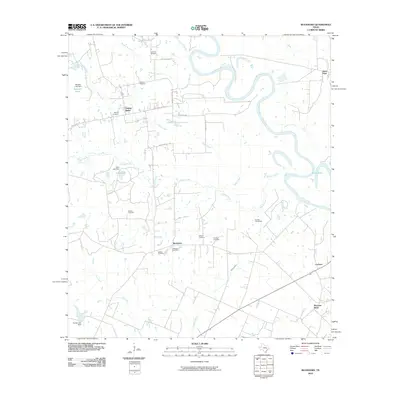
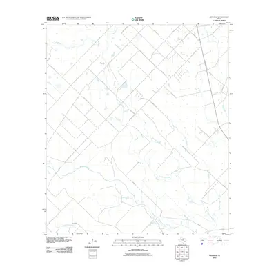
1963 Kenney
Austin County, TX
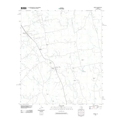
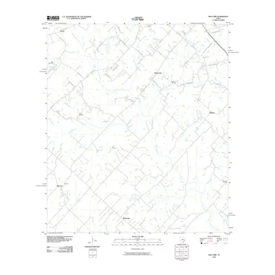
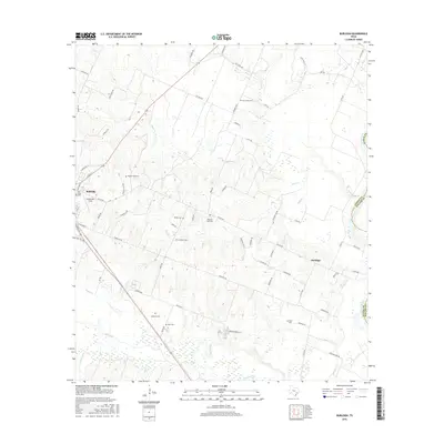
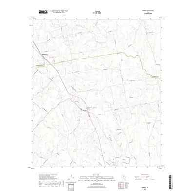
1963 Welcome
Austin County, TX
2010 Buckhorn
Austin County, TX
2010 Burleigh
Austin County, TX
2010 Cat Spring
Austin County, TX
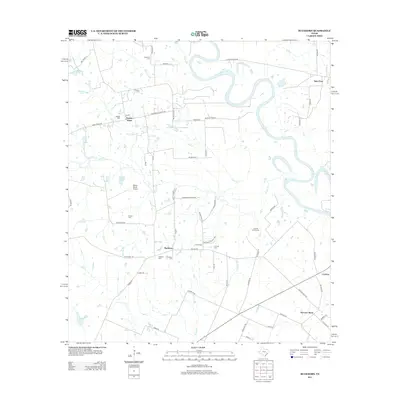
2010 Kenney
Austin County, TX
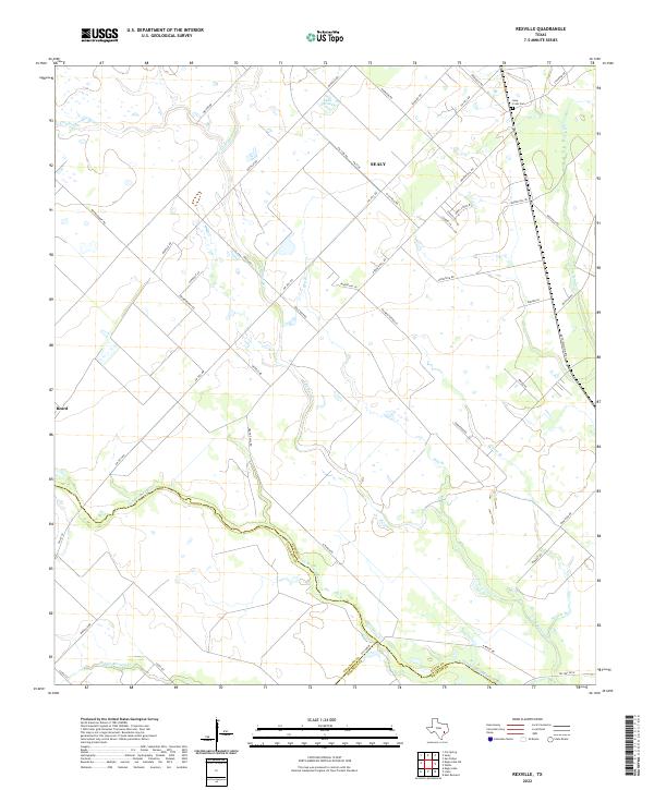
2010 Rexville
Austin County, TX
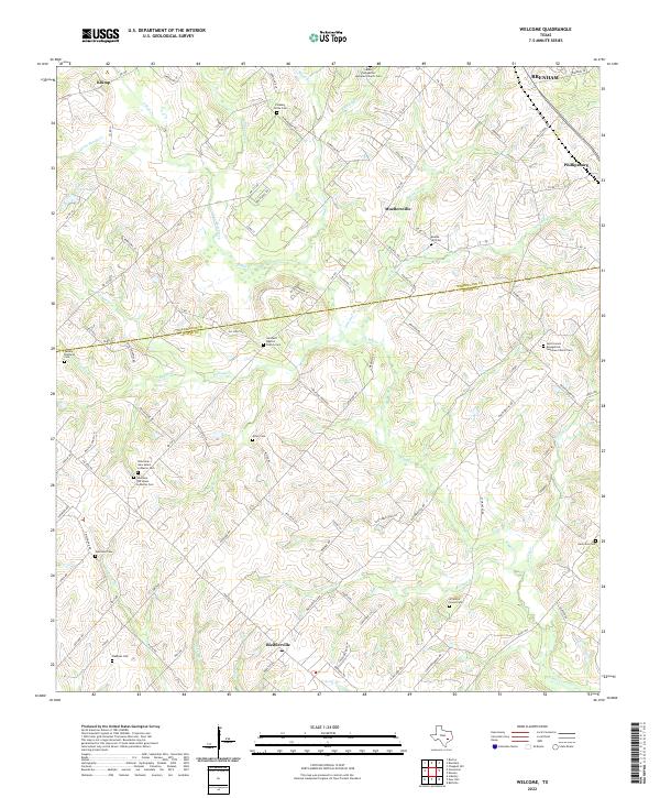
2010 Welcome
Austin County, TX
2013 Buckhorn
Austin County, TX
2013 Burleigh
Austin County, TX
2013 Cat Spring
Austin County, TX
2013 Kenney
Austin County, TX
2013 Rexville
Austin County, TX
2013 Welcome
Austin County, TX
2016 Buckhorn
Austin County, TX
2016 Burleigh
Austin County, TX
2016 Cat Spring
Austin County, TX
2016 Kenney
Austin County, TX
2016 Rexville
Austin County, TX
2016 Welcome
Austin County, TX
2019 Buckhorn
Austin County, TX
2019 Burleigh
Austin County, TX
2019 Cat Spring
Austin County, TX
2019 Kenney
Austin County, TX
2019 Rexville
Austin County, TX
2019 Welcome
Austin County, TX
2022 Buckhorn
Austin County, TX
2022 Burleigh
Austin County, TX
2022 Cat Spring
Austin County, TX
2022 Kenney
Austin County, TX
2022 Rexville
Austin County, TX
2022 Welcome
Austin County, TX