
1903 Map of Kenova
USGS Topo · Published 1903About this map
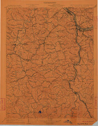
Ashland and Catlettsburg anchor the northern industrial frontier where the Big Sandy River meets the Ohio River, forming a vital tri-state junction with Kenova, West Virginia. This 1903 edition documents a landscape defined by its river-and-rail economy, where the Chesapeake and Ohio RR and Norfolk and Western RR navigate the intricate valleys of the Little Sandy River and Blaine Creek. The map provides significant detail for genealogists and industrial historians, showing numerous small mining and rail stops such as Coalton, Princess, and Boghead.
Find a feature on this map
146 named features on this map. Tap any name to fly to it.
Don’t see what you’re looking for? This feature index may not catch every label — zoom into the map to look around manually.
Map Details
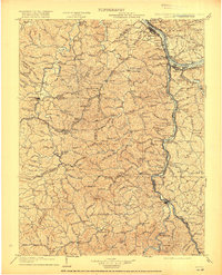
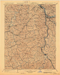
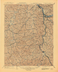
Editions of this 1903 Kenova Map
5 editions found
Other maps of this area

1886 · Prestonsburg
USGS Topo · 1:125,000

1887 · Warfield
USGS Topo · 1:125,000

1889 · Salyersville
USGS Topo · 1:125,000

1891 · Salyersville
USGS Topo · 1:125,000

1891 · Warfield
USGS Topo · 1:125,000

1892 · Prestonsburg
USGS Topo · 1:125,000

1892 · Huntington
USGS Topo · 1:125,000

1898 · Huntington
USGS Topo · 1:125,000

1898 · Ironton
USGS Topo · 1:62,500

1899 · Salyersville
USGS Topo · 1:125,000