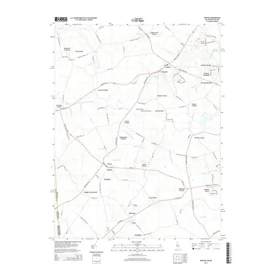
2014 Map of Kenton
USGS Topo · Published 2014About this map
Kenton and Hartly anchor this rural landscape in the Eastern Shore Delmarva Peninsula, where a network of historic crossroads defines the local geography. The map reveals an intricate system of water management and drainage, with features such as Tappahanna Ditch, Blanco Ditch, and Island Pond Marsh Ditch cutting across the agricultural terrain. These man-made channels complement natural waterways like the Leipsic River, which flows out of Masseys Millpond in the northeast corner.
Find a feature on this map
127 named features on this map. Tap any name to fly to it.
Don’t see what you’re looking for? This feature index may not catch every label — zoom into the map to look around manually.
Map Details
Editions of this 2014 Kenton Map
This is the sole edition of this map. No revisions or reprints were ever made.
Other maps of this area

1899 · Dover
USGS Topo · 1:125,000

1900 · Cecilton
USGS Topo · 1:62,500

1905 · Barclay
USGS Topo · 1:62,500

1906 · Dover
USGS Topo · 1:125,000

1920 · Dover
USGS Topo · 1:125,000

1926 · Wyoming
USGS Topo · 1:48,000

1930 · Wyoming
USGS Topo · 1:62,500

1931 · Wyoming
USGS Topo · 1:62,500

1931 · Smyrna
USGS Topo · 1:62,500
1944 · Goldsboro
USGS Topo · 1:31,680