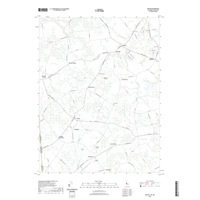
2019 Map of Kenton
USGS Topo · Published 2019About this map
Kenton and Hartly anchor this central portion of the Delmarva Peninsula, where the landscape is defined by a dense network of agricultural drainage and small waterways. The geography is characterized by intricate water systems such as Tappahanna Ditch, Muddy Bottom Ditch, and Island Pond Marsh Ditch, which feed into larger arteries like the Leipsic River. These features reflect the long-standing drainage projects necessary for farming the low-lying terrain of Kent County. Numerous small settlements and named corners, including Downs Chapel, Whigville, and Seven Hickories, dot the road network, illustrating a dispersed community pattern.
Find a feature on this map
109 named features on this map. Tap any name to fly to it.
Don’t see what you’re looking for? This feature index may not catch every label — zoom into the map to look around manually.
Map Details
Editions of this 2019 Kenton Map
This is the sole edition of this map. No revisions or reprints were ever made.
Other maps of this area

1899 · Dover
USGS Topo · 1:125,000

1900 · Cecilton
USGS Topo · 1:62,500

1905 · Barclay
USGS Topo · 1:62,500

1906 · Dover
USGS Topo · 1:125,000

1920 · Dover
USGS Topo · 1:125,000

1926 · Wyoming
USGS Topo · 1:48,000

1930 · Wyoming
USGS Topo · 1:62,500

1931 · Wyoming
USGS Topo · 1:62,500

1931 · Smyrna
USGS Topo · 1:62,500
1944 · Goldsboro
USGS Topo · 1:31,680