Loading...
Loading map...2023 Map of Kenton
USGS Topo · Published 2023About this map
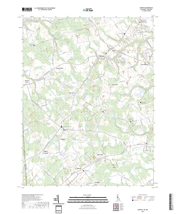
Kenton and Hartly anchor this survey of the Delmarva Peninsula along the Delaware and Maryland border. The landscape is defined by an intricate network of drainage ditches and slow-moving branches, such as Tappahanna Ditch and Sewell Branch, which have historically facilitated agriculture in these flatlands. Small, intersection-based communities like Wrights Crossroads, Downs Chapel, and Seeneytown highlight a settlement pattern centered on rural crossroads.
Find a feature on this map
123 named features on this map. Tap any name to fly to it.
Don’t see what you’re looking for? This feature index may not catch every label — zoom into the map to look around manually.
Map Details
Date Portrayed2023
Date Published2023
PublisherU.S. Geological Survey
Map TypeTopographic
Scale1:24000
Physical Dimensions24 x 29 inches
Editions of this 2023 Kenton Map
This is the sole edition of this map. No revisions or reprints were ever made.
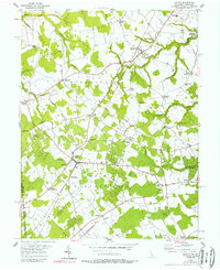
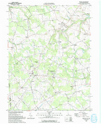
Historical Maps of Downs Chapel Through Time
Featured Locations
Source Details
SourceU.S. Geological Survey
CopyrightPublic Domain