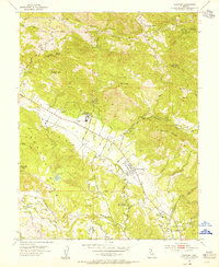
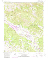
1954 Map of Kenwood
USGS Topo · Published 1955About this map
Sugarloaf Ridge and the Sonoma Mountains frame this 1950s landscape of the upper Sonoma Valley, where agricultural ranching meets the early institutional growth of the region. The map documents the Los Guilicos School For Girls and several local educational and community landmarks like the Dunbar Union Sch and McCormack Ranch. Transportation patterns are transitioning during this era, shown by the presence of the Northwestern Pacific Railroad Grade winding through the valley floor near settlements like Kenwood and Lawndale. The terrain is marked by numerous water sources, including Los Guilicos Warm Springs and the headwaters of Santa Rosa Creek, while several quarries on the slopes of Bennett Mtn suggest the active local industry of the period. Peaks such as Mt Hood and Bald Mtn dominate the northern horizons, illustrating the geographic isolation of these valley communities before mid-century expansion.
Find a feature on this map
49 named features on this map. Tap any name to fly to it.
Don’t see what you’re looking for? This feature index may not catch every label — zoom into the map to look around manually.
Map Details
Editions of this 1954 Kenwood Map
7 editions found
Other maps of this area

1902 · Napa
USGS Topo · 1:125,000

1916 · Santa Rosa
USGS Topo · 1:62,500

1927 · Calistoga
USGS Topo · 1:62,500

1942 · Sonoma
USGS Topo · 1:62,500

1942 · St. Helena
USGS Topo · 1:62,500

1943 · Calistoga
USGS Topo · 1:62,500

1944 · Santa Rosa
USGS Topo · 1:62,500

1945 · Calistoga
USGS Topo · 1:62,500

1945 · St. Helena
USGS Topo · 1:62,500

1947 · Santa Rosa
USGS Topo · 1:250,000