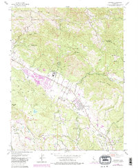
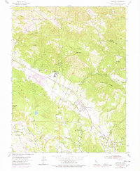
1954 Map of Kenwood
USGS Topo · Published 1985About this map
The valley floor of Kenwood and Oakmont is defined by a blend of agricultural heritage and mid-century institutional expansion, bounded by the steep heights of Mt Hood and the Sugarloaf Ridge State Park. The landscape shows the transition of the Southern Pacific Railroad Grade as it parallels Warm Springs Road, serving a string of local settlements including Lawndale and Agua Caliente. Educational and social landmarks are prominent, notably the Los Guilicos School For Girls and Dunbar Union Sch.
Find a feature on this map
50 named features on this map. Tap any name to fly to it.
Don’t see what you’re looking for? This feature index may not catch every label — zoom into the map to look around manually.
Map Details
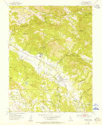
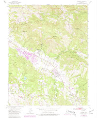
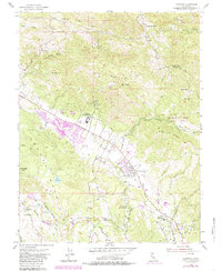
Editions of this 1954 Kenwood Map
7 editions found
Other maps of this area

1902 · Napa
USGS Topo · 1:125,000

1916 · Santa Rosa
USGS Topo · 1:62,500

1927 · Calistoga
USGS Topo · 1:62,500

1942 · Sonoma
USGS Topo · 1:62,500

1942 · St. Helena
USGS Topo · 1:62,500

1943 · Calistoga
USGS Topo · 1:62,500

1944 · Santa Rosa
USGS Topo · 1:62,500

1945 · Calistoga
USGS Topo · 1:62,500

1945 · St. Helena
USGS Topo · 1:62,500

1947 · Santa Rosa
USGS Topo · 1:250,000