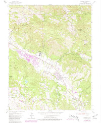
1954 Map of Kenwood
USGS Topo · Published 1981About this map
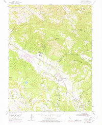
The rugged terrain of the Sonoma Valley and its surrounding peaks define this mid-century landscape. Dominated by the volcanic elevations of Mt Hood and Sugarloaf Ridge, the area transitions from steep canyons to the residential developments around Kenwood and the winding Bennett Valley. Significant institutional landmarks are present, including the Los Guilicos School For Girls and the Dunbar Union Sch, reflecting the local community's social infrastructure during this period of growth.
Find a feature on this map
35 named features on this map. Tap any name to fly to it.
Don’t see what you’re looking for? This feature index may not catch every label — zoom into the map to look around manually.
Map Details
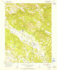
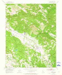
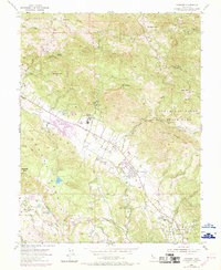
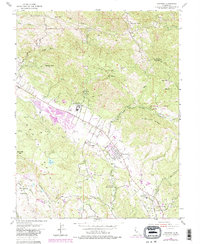
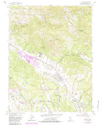
Editions of this 1954 Kenwood Map
7 editions found
Other maps of this area

1902 · Napa
USGS Topo · 1:125,000

1916 · Santa Rosa
USGS Topo · 1:62,500

1927 · Calistoga
USGS Topo · 1:62,500

1942 · Sonoma
USGS Topo · 1:62,500

1942 · St. Helena
USGS Topo · 1:62,500

1943 · Calistoga
USGS Topo · 1:62,500

1944 · Santa Rosa
USGS Topo · 1:62,500

1945 · Calistoga
USGS Topo · 1:62,500

1945 · St. Helena
USGS Topo · 1:62,500

1947 · Santa Rosa
USGS Topo · 1:250,000