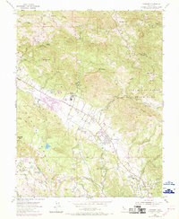
1954 Map of Kenwood
USGS Topo · Published 1969About this map
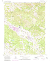
Kenwood and the upper reaches of the Sonoma Valley are defined by a distinct corridor of development running between the slopes of Bennett Mtn and Sugarloaf Ridge. In this mid-century landscape, the transition from agricultural roots to residential expansion is visible in the emergence of Oakmont and its Golf Course, contrasted with the institutional presence of the Los Guilicos School For Girls and the Los Guilicos Warm Springs. The terrain is deeply carved by watercourses like Santa Rosa Creek and Calabazas Creek, while the ridges above are dotted with family landmarks such as the McCormack Ranch.
Find a feature on this map
43 named features on this map. Tap any name to fly to it.
Don’t see what you’re looking for? This feature index may not catch every label — zoom into the map to look around manually.
Map Details
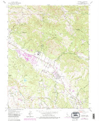
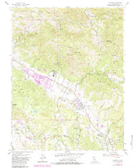
Editions of this 1954 Kenwood Map
7 editions found
Other maps of this area

1902 · Napa
USGS Topo · 1:125,000

1916 · Santa Rosa
USGS Topo · 1:62,500

1927 · Calistoga
USGS Topo · 1:62,500

1942 · Sonoma
USGS Topo · 1:62,500

1942 · St. Helena
USGS Topo · 1:62,500

1943 · Calistoga
USGS Topo · 1:62,500

1944 · Santa Rosa
USGS Topo · 1:62,500

1945 · Calistoga
USGS Topo · 1:62,500

1945 · St. Helena
USGS Topo · 1:62,500

1947 · Santa Rosa
USGS Topo · 1:250,000