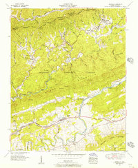
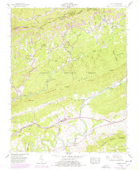
1955 Map of Keokee
USGS Topo · Published 1956About this map
Black Mountain and Little Black Mountain dominate the rugged borderlands between Virginia and Kentucky in the mid-1950s. This survey by the Tennessee Valley Authority and USGS captures a landscape defined by sharp ridges and deep hollows, where the coal-country economy is marked by the Louisville and Nashville and Southern railroads. The settlement of Keokee and nearby Darnell Town sit at the foot of the mountains, while the southern half of the sheet opens into Poor Valley, where Dryden and Purcell follow the path of The Lonesome Pine Trail. Family history is preserved through numerous rural landmarks, from the Robbins Chapel School to the Anderson Cem and Ely Memorial Church. The reach of the Jefferson National Forest covers much of the high ground, including Stone Mountain and its Olinger Lookout Tower.
Find a feature on this map
80 named features on this map. Tap any name to fly to it.
Don’t see what you’re looking for? This feature index may not catch every label — zoom into the map to look around manually.
Map Details
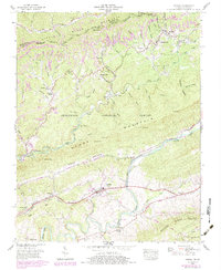
Editions of this 1955 Keokee Map
6 editions found
Other maps of this area

1887 · Jonesville
USGS Topo · 1:125,000

1891 · Jonesville
USGS Topo · 1:125,000

1894 · Estillville
USGS Topo · 1:125,000

1916 · Nolansburg
USGS Topo · 1:48,000

1919 · Nolansburg
USGS Topo · 1:62,500

1921 · Big Stone Gap
USGS Topo · 1:48,000

1922 · Big Stone Gap
USGS Topo · 1:62,500

1929 · Big Stone Gap
USGS Topo · 1:62,500
1935 · Appalachia
USGS Topo · 1:24,000
1935 · Ben Hur
USGS Topo · 1:24,000