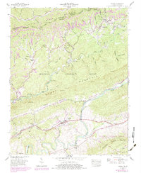
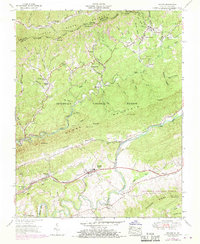
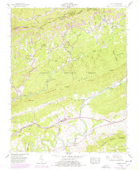
1955 Map of Keokee
USGS Topo · Published 1984About this map
Keokee sits along the southern base of Black Mountain, marking a landscape defined by the heavy extraction and transport of the Appalachian coalfields. The intersection of the Southern and the Louisville and Nashville railroads demonstrates the industrial importance of this corridor, where branch lines snake through hollows such as Colliers Cove and Garrison Hollow. The map reveals a dense network of local landmarks, including the Robbins Chapel School and numerous house of worship like Ely Memorial Church and Wills Chapel, which served the mining communities of Darnell Town, Rawhide, and Calvin. South of Stone Mountain, the Trail of the Lonesome Pine follows the path through Poor Valley, connecting the northern mining districts to the agricultural landscape of Dryden and Wallen Ridge.
Find a feature on this map
85 named features on this map. Tap any name to fly to it.
Don’t see what you’re looking for? This feature index may not catch every label — zoom into the map to look around manually.
Map Details
Editions of this 1955 Keokee Map
6 editions found
Other maps of this area

1887 · Jonesville
USGS Topo · 1:125,000

1891 · Jonesville
USGS Topo · 1:125,000

1894 · Estillville
USGS Topo · 1:125,000

1916 · Nolansburg
USGS Topo · 1:48,000

1919 · Nolansburg
USGS Topo · 1:62,500

1921 · Big Stone Gap
USGS Topo · 1:48,000

1922 · Big Stone Gap
USGS Topo · 1:62,500

1929 · Big Stone Gap
USGS Topo · 1:62,500
1935 · Appalachia
USGS Topo · 1:24,000
1935 · Ben Hur
USGS Topo · 1:24,000