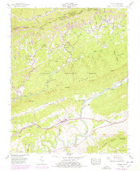
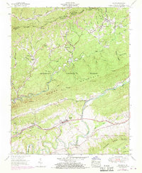
1955 Map of Keokee
USGS Topo · Published 1978About this map
Stone Mountain and the high ridges of Little Black Mountain dominate this central Appalachian landscape along the Kentucky and Virginia border. In the mid-1950s, the region's character was defined by narrow valley settlements like Keokee, Calvin, and Dryden that were threaded together by the Louisville and Nashville and Southern railroads. These lines transported coal and timber out of the steep hollows, such as Colliers Cove and Holmes Hollow, while the Trail of the Lonesome Pine provided a historic overland route through Poor Valley.
Find a feature on this map
79 named features on this map. Tap any name to fly to it.
Don’t see what you’re looking for? This feature index may not catch every label — zoom into the map to look around manually.
Map Details
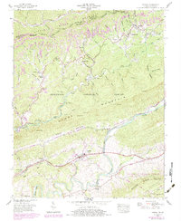
Editions of this 1955 Keokee Map
6 editions found
Other maps of this area

1887 · Jonesville
USGS Topo · 1:125,000

1891 · Jonesville
USGS Topo · 1:125,000

1894 · Estillville
USGS Topo · 1:125,000

1916 · Nolansburg
USGS Topo · 1:48,000

1919 · Nolansburg
USGS Topo · 1:62,500

1921 · Big Stone Gap
USGS Topo · 1:48,000

1922 · Big Stone Gap
USGS Topo · 1:62,500

1929 · Big Stone Gap
USGS Topo · 1:62,500
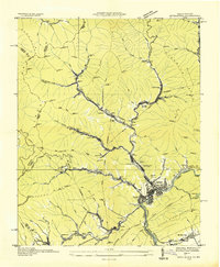
1935 · Appalachia
USGS Topo · 1:24,000
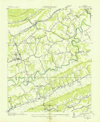
1935 · Ben Hur
USGS Topo · 1:24,000