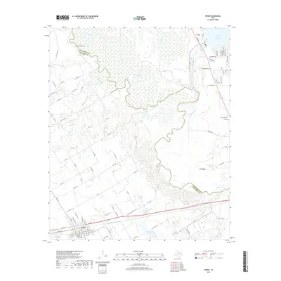
2019 Map of Kerens
USGS Topo · Published 2019About this map
Kerens and Trinidad anchor the southern and eastern landscape where the meandering Trinity River defines the border between Navarro and Henderson counties. The river's winding path creates distinct oxbows and features such as Horseshoe Bend and Round Lake, illustrating the complex natural hydrology of this bottomland region. To the northeast, the development around Tool and the southern reaches of the Cedar Creek Reservoir contrast with the rural grid and watercourses of the western half. Local history and genealogy are well-represented by long-standing landmarks like Kerens Cem and Samaria Cem. The map provides a detailed record of the transport network, from primary routes like FM 3096 to the numerous rural roads connecting to Kerens City Lake, marking the intersection of agriculture, river geography, and modern lakeside community growth.
Find a feature on this map
92 named features on this map. Tap any name to fly to it.
Don’t see what you’re looking for? This feature index may not catch every label — zoom into the map to look around manually.
Map Details
Editions of this 2019 Kerens Map
This is the sole edition of this map. No revisions or reprints were ever made.
Other maps of this area

1920 · Kemp
USGS Topo · 1:62,500

1954 · Dallas
USGS Topo · 1:250,000

1957 · Kemp
USGS Topo · 1:62,500

1958 · Dallas
USGS Topo · 1:250,000

1959 · Powell
USGS Topo · 1:24,000

1960 · Tool
USGS Topo · 1:24,000

1960 · Mabank
USGS Topo · 1:24,000

1960 · Creslenn Ranch
USGS Topo · 1:24,000

1960 · Goodlow Park
USGS Topo · 1:24,000

1960 · Malakoff
USGS Topo · 1:24,000