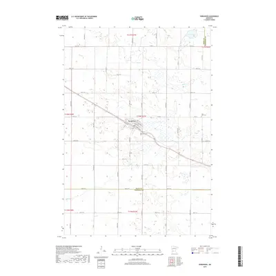
2019 Map of Kerkhoven
USGS Topo · Published 2019About this map
Kerkhoven serves as the primary hub of this Swift County landscape, where the town's street grid, including Pacific Ave, aligns with the regional rail corridor. The surrounding terrain is defined by the winding paths of Shakopee Cr and Mud Cr, which navigate a complex network of wetlands and small basins typical of this part of Minnesota. For those researching local heritage, the map identifies significant burial sites such as Hillside Cem on the town's edge and West Salem Cem further east. The boundaries of the Swift and Kandiyohi county line are clearly marked in the northeast corner near School Lake, reflecting the intersection of municipal borders and natural water features in a region dominated by a precise section-line road network.
Find a feature on this map
51 named features on this map. Tap any name to fly to it.
Don’t see what you’re looking for? This feature index may not catch every label — zoom into the map to look around manually.
Map Details
Editions of this 2019 Kerkhoven Map
This is the sole edition of this map. No revisions or reprints were ever made.
Other maps of this area

1953 · Saint Cloud
USGS Topo · 1:250,000

1957 · Saint Cloud
USGS Topo · 1:250,000

1958 · Saint Cloud
USGS Topo · 1:250,000

1958 · Murdock
USGS Topo · 1:24,000

1958 · Kerkhoven SE
USGS Topo · 1:24,000

1958 · Kerkhoven
USGS Topo · 1:24,000

1958 · Kerkhoven SW
USGS Topo · 1:24,000

1958 · Raymond
USGS Topo · 1:24,000

1958 · Pennock
USGS Topo · 1:24,000

1967 · Sunburg
USGS Topo · 1:24,000