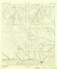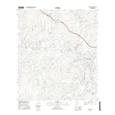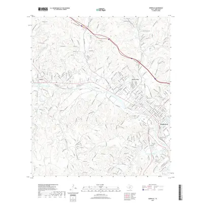
1985 Map of Kerrville
USGS Topo · Published 1985About this map
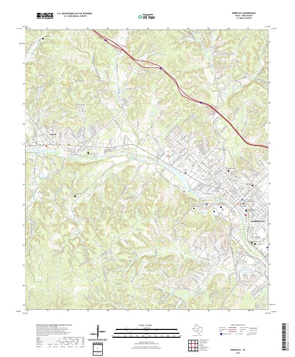
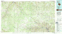
The confluence of the North Llano River and South Llano River at Junction anchors the northwest corner of this mid-1980s landscape, while the regional hub of Kerrville sits downstream in the southeast. This survey captures a rural Texas Hill Country transition where scattered settlements like Doss and Harper are linked by a network of ranch-to-market roads and early state highways. Local history is preserved in labels for Old Noxville and the Neyland Mine, alongside established institutions like Schreiner College. The terrain is defined by the Blue Mountains and the headwaters of the Pedernales River, showcasing a region built on ranching and the water resources of the Guadalupe River valley. Scientific and conservation efforts are represented by the Heart of the Hills State Fishery Research Station and the Kerr State Wildlife Management Area, reflecting the area's importance to state natural resource management.
Find a feature on this map
63 named features on this map. Tap any name to fly to it.
Don’t see what you’re looking for? This feature index may not catch every label — zoom into the map to look around manually.
Map Details
Editions of this 1985 Kerrville Map
2 editions found
Historical Maps of Kerrville Through Time
8 maps found