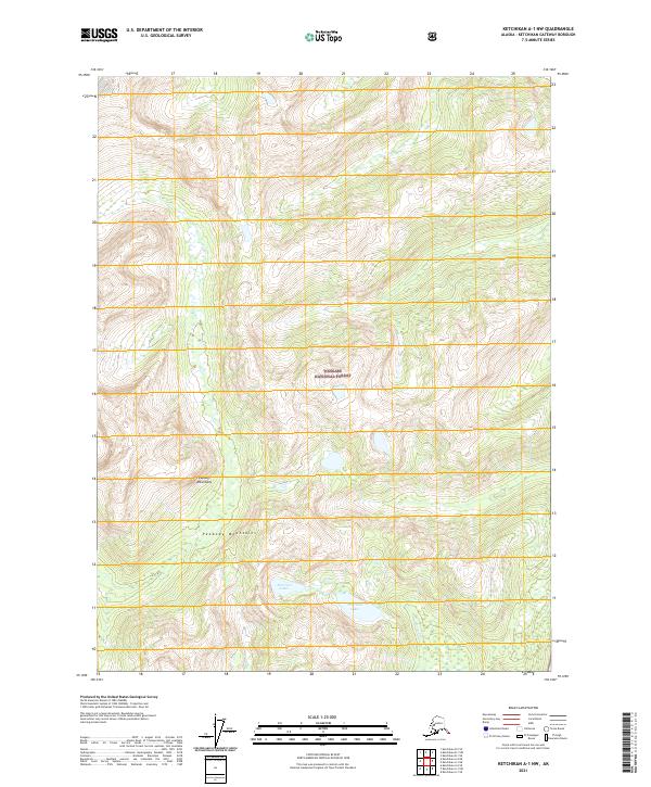
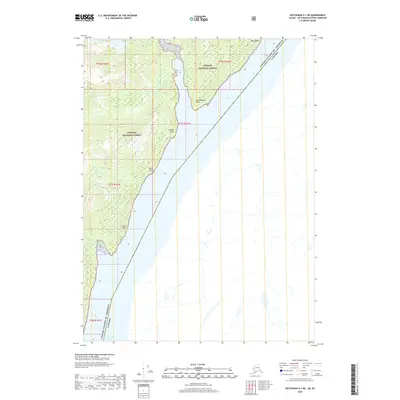
2021 Map of Ketchikan A-1 NW
USGS Topo · Published 2021About this map
Peabody Mountains dominate this high-altitude landscape within the Tongass National Forest, illustrating a section of the Alaska panhandle characterized by dramatic elevation changes and glacial-fed water systems. The map detail highlights the hydrological connection between Harrison Lakes and the drainage of Harrison Cr, providing a clear view of the natural catchments in this portion of the Ketchikan Gateway Borough. As a 2021 record of the Tongass National Forest, the map preserves the precise township and range boundaries, such as t77s r100e and t77s r101e, which are essential for coordinating contemporary land use and conservation efforts in this roadless wilderness.
Find a feature on this map
10 named features on this map. Tap any name to fly to it.
Don’t see what you’re looking for? This feature index may not catch every label — zoom into the map to look around manually.
Map Details
Editions of this 2021 Ketchikan A-1 NW Map
This is the sole edition of this map. No revisions or reprints were ever made.
Other maps of this area

1952 · Ketchikan
USGS Topo · 1:250,000

1955 · Ketchikan A-2
USGS Topo · 1:63,360

1955 · Ketchikan A-1
USGS Topo · 1:63,360

1955 · Ketchikan B-2
USGS Topo · 1:63,360

1955 · Ketchikan B-1
USGS Topo · 1:63,360

1955 · Ketchikan
USGS Topo · 1:250,000
2018 · Ketchikan A-1 NW
USGS Topo · 1:25,000
2018 · Ketchikan A-2 NE
USGS Topo · 1:25,000
2018 · Ketchikan B-2 SE
USGS Topo · 1:25,000
2018 · Ketchikan A-1 NE
USGS Topo · 1:25,000