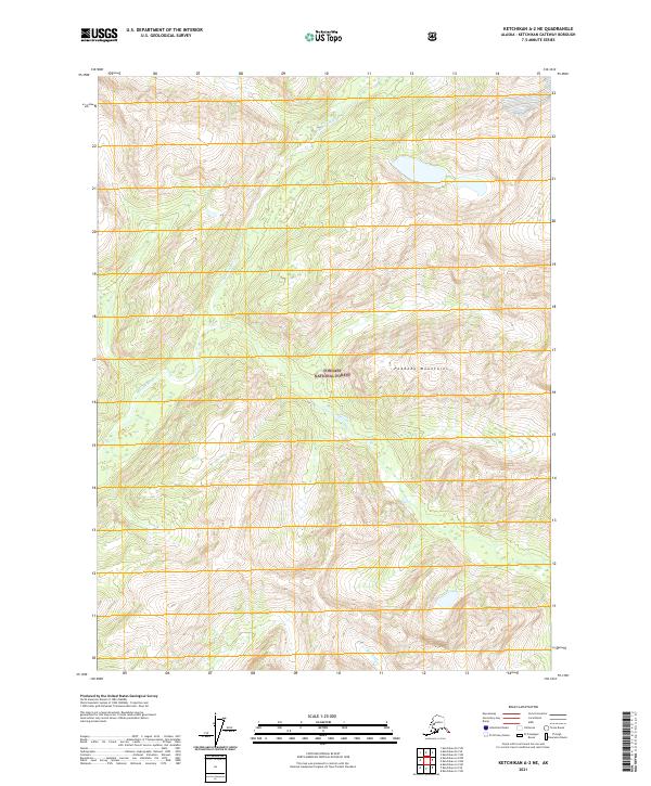
2021 Map of Ketchikan A-2 NE
USGS Topo · Published 2021About this map
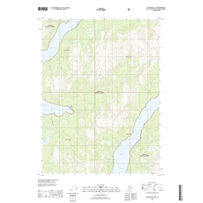
Peabody Mountains dominate the central-eastern topography of this Southeast Alaska wilderness, situated within the expansive Tongass National Forest. This 2021 survey reveals a landscape defined by significant elevation changes and glacial-carved drainages, most notably the winding course of the Marten River in the west and the Red River at the southern boundary. The cartography provides a contemporary record of these remote watersheds, showing the intricate network of tributaries that feed into the major rivers. Aside from these primary geographical features, the map is largely void of man-made structures or settlements, reflecting the preserved, uninhabited character of the Ketchikan Gateway Borough interior during the early twenty-first century.
Find a feature on this map
10 named features on this map. Tap any name to fly to it.
Don’t see what you’re looking for? This feature index may not catch every label — zoom into the map to look around manually.
Map Details
Editions of this 2021 Ketchikan A-2 NE Map
This is the sole edition of this map. No revisions or reprints were ever made.
Other maps of this area

1952 · Ketchikan
USGS Topo · 1:250,000

1955 · Ketchikan A-2
USGS Topo · 1:63,360

1955 · Ketchikan A-1
USGS Topo · 1:63,360

1955 · Ketchikan B-2
USGS Topo · 1:63,360

1955 · Ketchikan B-1
USGS Topo · 1:63,360

1955 · Ketchikan
USGS Topo · 1:250,000
2018 · Ketchikan A-1 NW
USGS Topo · 1:25,000
2018 · Ketchikan A-2 NE
USGS Topo · 1:25,000
2018 · Ketchikan B-2 SE
USGS Topo · 1:25,000
2018 · Ketchikan B-2 SW
USGS Topo · 1:25,000