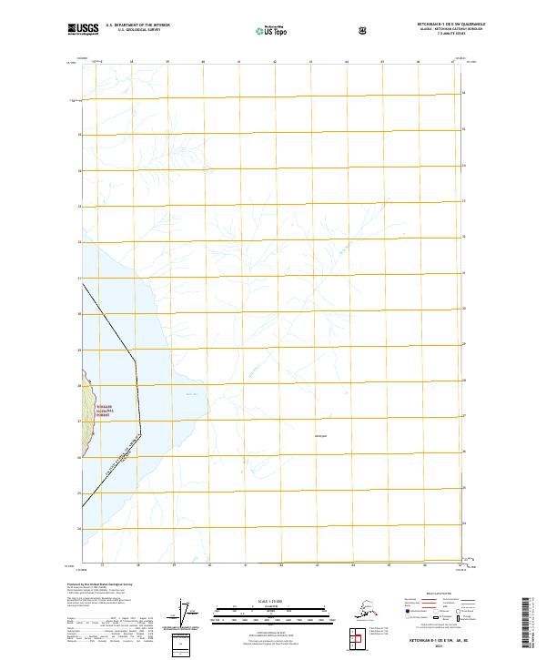
2021 Map of Ketchikan B-1 OE E SW
USGS Topo · Published 2021About this map
The international border of the United States of America Canada defines the eastern edge of this coastal Alaskan landscape, where the waters of Belle Bay meet the shoreline of the Tongass National Forest. The map documents a sparsely populated wilderness dominated by hydrologic systems and relief features such as Ashington. Drainage from the interior flows through Belle Bay Cr, carving through the forest toward the Pacific. The survey preserves the spatial relationship between the maritime boundary and the protected federal lands, illustrating the remote character of the Ketchikan Gateway Borough during the early twenty-first century. It remains a key document for understanding the interface between the Alaskan panhandle's waterways and the Canadian frontier.
Find a feature on this map
8 named features on this map. Tap any name to fly to it.
Don’t see what you’re looking for? This feature index may not catch every label — zoom into the map to look around manually.
Map Details
Editions of this 2021 Ketchikan B-1 OE E SW Map
This is the sole edition of this map. No revisions or reprints were ever made.
Other maps of this area

1952 · Ketchikan
USGS Topo · 1:250,000

1955 · Ketchikan A-1
USGS Topo · 1:63,360

1955 · Ketchikan B-1
USGS Topo · 1:63,360

1955 · Ketchikan
USGS Topo · 1:250,000
2018 · Ketchikan B-1 NE
USGS Topo · 1:25,000
2018 · Ketchikan A-1 NE
USGS Topo · 1:25,000
2018 · Ketchikan B-1 SE
USGS Topo · 1:25,000
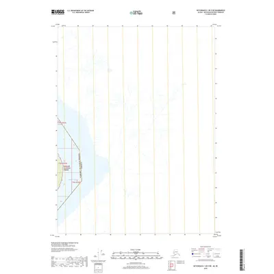
2018 · Ketchikan B-1 OE E SW
USGS Topo · 1:25,000
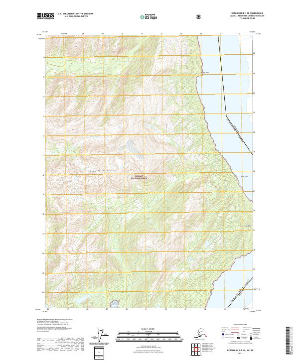
2021 · Ketchikan B-1 SE
USGS Topo · 1:25,000
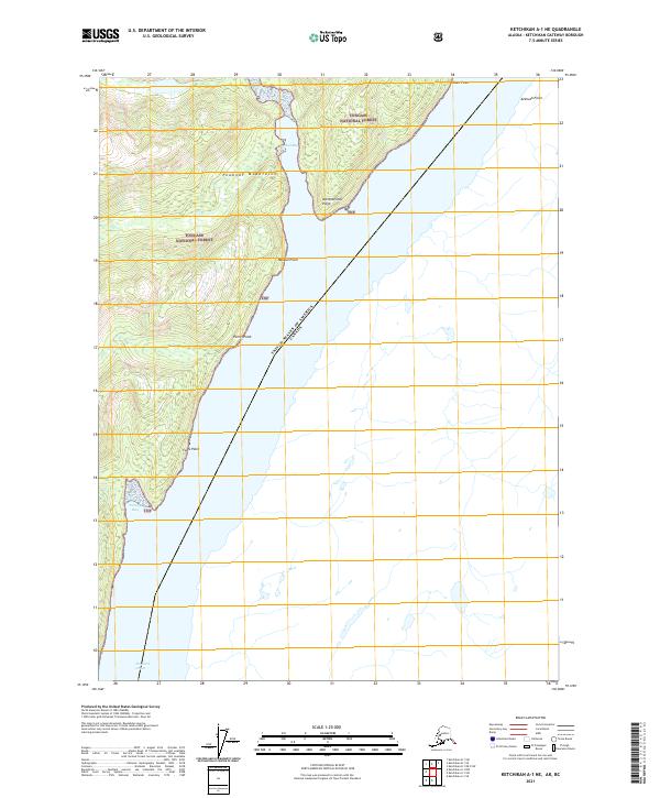
2021 · Ketchikan A-1 NE
USGS Topo · 1:25,000