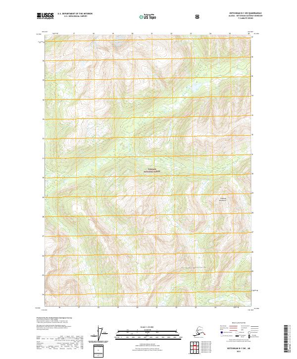
2021 Map of Ketchikan B-1 SW
USGS Topo · Published 2021About this map
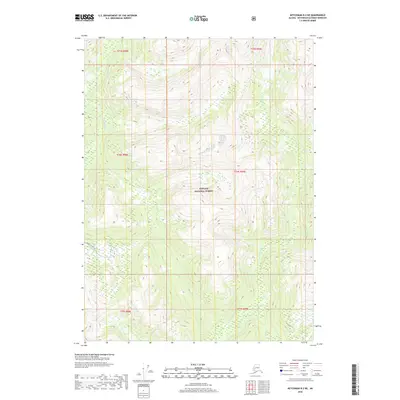
Tongass National Forest dominates this coastal Alaska terrain, where the Marten River flows through high-elevation basins. The topographical data highlights the dramatic verticality of the Peabody Mountains, which rise sharply toward the eastern edge of the quadrangle. As a modern 2021 topographic record, the map illustrates the remote character of this region of Prince of Wales-Hyder, defined by steep ridges and glacial valleys rather than human infrastructure or settlements. The lack of roads or established buildings within these boundaries underscores the preservation of this wilderness area, providing a precise look at the natural drainages and peaks that shape the southern Alaskan landscape.
Find a feature on this map
7 named features on this map. Tap any name to fly to it.
Don’t see what you’re looking for? This feature index may not catch every label — zoom into the map to look around manually.
Map Details
Editions of this 2021 Ketchikan B-1 SW Map
This is the sole edition of this map. No revisions or reprints were ever made.
Other maps of this area

1952 · Ketchikan
USGS Topo · 1:250,000

1955 · Ketchikan A-2
USGS Topo · 1:63,360

1955 · Ketchikan A-1
USGS Topo · 1:63,360

1955 · Ketchikan B-2
USGS Topo · 1:63,360

1955 · Ketchikan B-1
USGS Topo · 1:63,360

1955 · Ketchikan
USGS Topo · 1:250,000
2018 · Ketchikan B-1 NE
USGS Topo · 1:25,000
2018 · Ketchikan A-1 NW
USGS Topo · 1:25,000
2018 · Ketchikan A-2 NE
USGS Topo · 1:25,000
2018 · Ketchikan B-2 NE
USGS Topo · 1:25,000