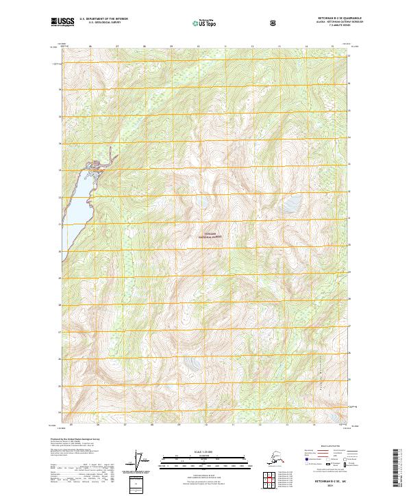
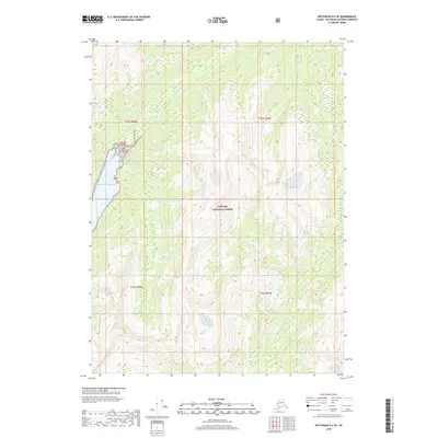
2021 Map of Ketchikan B-2 SE
USGS Topo · Published 2021About this map
Tongass National Forest dominates this Alaskan landscape, where the Peabody Mountains rise sharply in the southeast quadrant. This 2021 topographic record of the Prince of Wales-Hyder region highlights a remote wilderness defined by its complex drainage systems. The Keta River flows through the northern reaches of the quadrangle, while the Marten River and the smaller Red Cr carve through the southern and eastern terrain. The map's contour detail provides an essential record of the high-altitude topography within the national forest, illustrating the natural barriers that have shaped exploration and land use in this part of Alaska for generations. It is a precise resource for understanding the hydrography and elevation of this largely undeveloped coastal mountain environment.
Find a feature on this map
9 named features on this map. Tap any name to fly to it.
Don’t see what you’re looking for? This feature index may not catch every label — zoom into the map to look around manually.
Map Details
Editions of this 2021 Ketchikan B-2 SE Map
This is the sole edition of this map. No revisions or reprints were ever made.
Other maps of this area

1952 · Ketchikan
USGS Topo · 1:250,000

1955 · Ketchikan A-2
USGS Topo · 1:63,360

1955 · Ketchikan A-1
USGS Topo · 1:63,360

1955 · Ketchikan B-2
USGS Topo · 1:63,360

1955 · Ketchikan B-1
USGS Topo · 1:63,360

1955 · Ketchikan
USGS Topo · 1:250,000
2018 · Ketchikan A-1 NW
USGS Topo · 1:25,000
2018 · Ketchikan A-2 NE
USGS Topo · 1:25,000
2018 · Ketchikan B-2 NE
USGS Topo · 1:25,000
2018 · Ketchikan B-2 SE
USGS Topo · 1:25,000