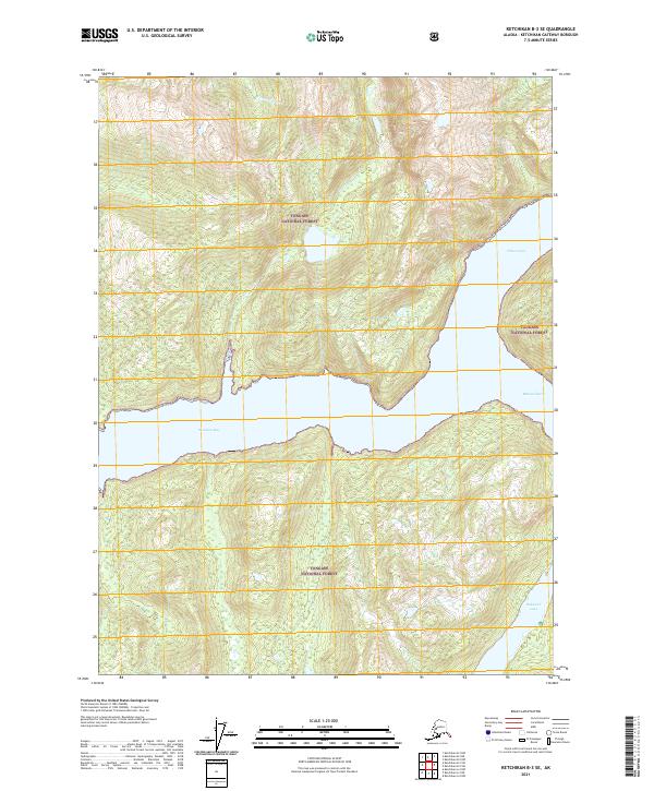
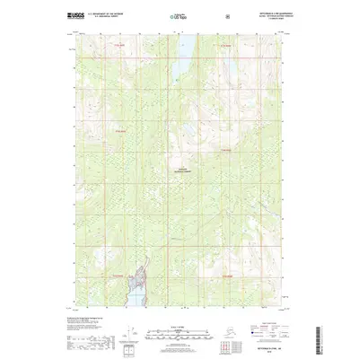
2021 Map of Ketchikan B-3 SE
USGS Topo · Published 2021About this map
Tongass National Forest encompasses the entirety of this coastal landscape, where the saltwater reaches of Sweaton Bay and Wilson Arm carve deep into the mountainous terrain. This 2021 survey by the U.S. Geological Survey illustrates the complex interface of Southeast Alaska's fjords and interior freshwater systems. In the southeast, Bakewell Lake drains toward Bakewell Arm, marking a significant topographical break in the dense forest land. The drainage patterns of Winstanley Cr and Bartholomew Cr highlight the steep relief of the coastal range, providing essential detail for understanding the hydrological network that sustains this maritime ecosystem.
Find a feature on this map
11 named features on this map. Tap any name to fly to it.
Don’t see what you’re looking for? This feature index may not catch every label — zoom into the map to look around manually.
Map Details
Editions of this 2021 Ketchikan B-3 SE Map
This is the sole edition of this map. No revisions or reprints were ever made.
Other maps of this area

1952 · Ketchikan
USGS Topo · 1:250,000

1955 · Ketchikan A-2
USGS Topo · 1:63,360

1955 · Ketchikan B-2
USGS Topo · 1:63,360

1955 · Ketchikan A-3
USGS Topo · 1:63,360

1955 · Ketchikan B-3
USGS Topo · 1:63,360

1955 · Ketchikan
USGS Topo · 1:250,000
2018 · Ketchikan B-3 NE
USGS Topo · 1:25,000
2018 · Ketchikan B-3 NW
USGS Topo · 1:25,000
2018 · Ketchikan B-3 SW
USGS Topo · 1:25,000
2018 · Ketchikan B-2 NW
USGS Topo · 1:25,000