
1955 Map of Ketchikan C-3
USGS Topo · Published 1959About this map
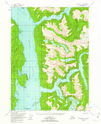
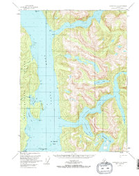
Behm Canal dominates this mid-century topographic study, carving a massive deep-water passage through the southern panhandle of Alaska. The map illustrates the complex interface between the eastern coast of Revillagigedo Island and the mainland, where glacial carved features like Rudyerd Bay and Walker Cove reach deep into the interior. These fjord-like inlets are surrounded by steep elevations, rising sharply from the sea to interior heights where alpine features like Punchbowl Lake and Nooya Lake are found.
Find a feature on this map
28 named features on this map. Tap any name to fly to it.
Don’t see what you’re looking for? This feature index may not catch every label — zoom into the map to look around manually.
Map Details
Editions of this 1955 Ketchikan C-3 Map
3 editions found
Other maps of this area

1949 · Ketchikan B-4
USGS Topo · 1:63,360

1952 · Ketchikan
USGS Topo · 1:250,000

1952 · Ketchikan B-4
USGS Topo · 1:63,360

1952 · Ketchikan C-4
USGS Topo · 1:63,360

1955 · Ketchikan D-2
USGS Topo · 1:63,360

1955 · Ketchikan C-2
USGS Topo · 1:63,360

1955 · Ketchikan D-4
USGS Topo · 1:63,360

1955 · Ketchikan B-2
USGS Topo · 1:63,360

1955 · Ketchikan D-3
USGS Topo · 1:63,360

1955 · Ketchikan B-3
USGS Topo · 1:63,360