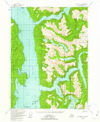
1955 Map of Ketchikan C-3
USGS Topo · Published 1962About this map
Behm Canal serves as the central waterway of this mid-century survey, dividing the land into the eastern wilderness and the shoreline of Revillagigedo Island to the west. The landscape is defined by deep glacial fjords, most notably Walker Cove and the branching waters of Rudyerd Bay. These coastal features, along with Punchbowl Cove, illustrate the dramatic maritime geography of the Tongass National Forest. Inland, high-altitude water bodies like Punchbowl Lake and Nooya Lake are fed by steep drainages such as Manzanita Creek. Historically significant maritime landmarks are noted along the canal, including the distinctive New Eddystone Islands and the solitary New Eddystone Rock. The map captures a wilderness area before modern development, where navigation relied on points like Pt Louise and Cactus Pt to thread through the narrow coastal passages.
Find a feature on this map
31 named features on this map. Tap any name to fly to it.
Don’t see what you’re looking for? This feature index may not catch every label — zoom into the map to look around manually.
Map Details
Editions of this 1955 Ketchikan C-3 Map
3 editions found
Other maps of this area

1949 · Ketchikan B-4
USGS Topo · 1:63,360

1952 · Ketchikan
USGS Topo · 1:250,000

1952 · Ketchikan B-4
USGS Topo · 1:63,360

1952 · Ketchikan C-4
USGS Topo · 1:63,360

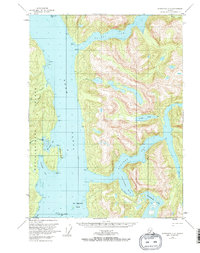
1955 · Ketchikan C-3
USGS Topo · 1:63,360

1955 · Ketchikan D-2
USGS Topo · 1:63,360

1955 · Ketchikan C-2
USGS Topo · 1:63,360

1955 · Ketchikan D-4
USGS Topo · 1:63,360

1955 · Ketchikan B-2
USGS Topo · 1:63,360

1955 · Ketchikan D-3
USGS Topo · 1:63,360