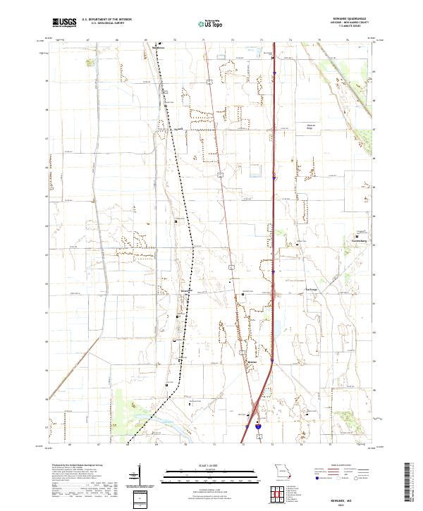
2021 Map of Kewanee
USGS Topo · Published 2021About this map
Sikeston Ridge rises above the alluvial landscape of New Madrid County, anchoring a series of small agricultural settlements and rural intersections in the Missouri Bootheel. The primary corridor through this region is defined by the clusters of Kewanee, Ristine, and La Forge, where the local economy and community life are rooted in the surrounding drainage and field systems. Evidence of the area's intricate water management is seen in the extensive network of engineered waterways, such as Ash-Slough-Ditch and Saint Johns Ditch, which converted the natural wetlands into productive farmland.
Find a feature on this map
60 named features on this map. Tap any name to fly to it.
Don’t see what you’re looking for? This feature index may not catch every label — zoom into the map to look around manually.
Map Details
Editions of this 2021 Kewanee Map
This is the sole edition of this map. No revisions or reprints were ever made.
Historical Maps of Ogden Through Time
19 maps found
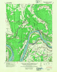
1939 Bayouville
New Madrid County, MO
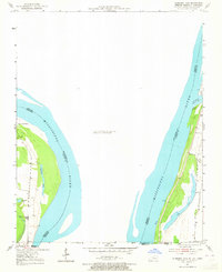
1951 Hubbard Lake
New Madrid County, MO
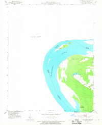
1951 New Madrid SE
New Madrid County, MO

1955 Bayouville
New Madrid County, MO
1963 Sikeston South
New Madrid County, MO
1969 Henderson Mound
New Madrid County, MO
1969 Hubbard Lake
New Madrid County, MO
1971 Charter Oak
New Madrid County, MO
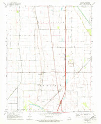
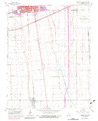
1971 Kewanee
New Madrid County, MO
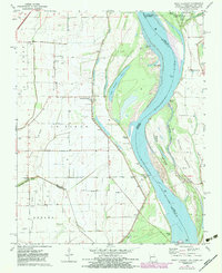
1971 Point Pleasant
New Madrid County, MO

1972 Bayouville
New Madrid County, MO

1978 Boekerton
New Madrid County, MO
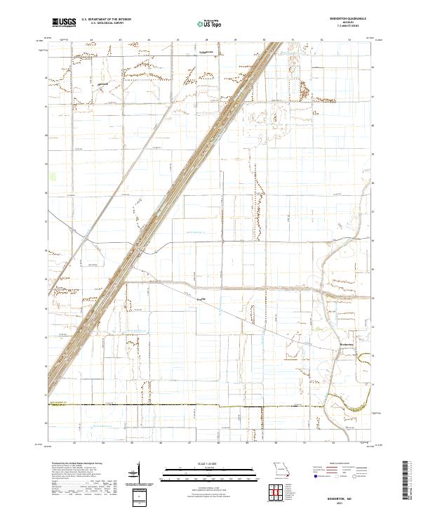
2021 Boekerton
New Madrid County, MO
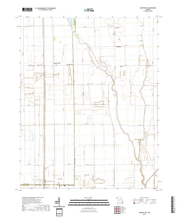
2021 Charter Oak
New Madrid County, MO
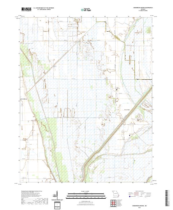
2021 Henderson Mound
New Madrid County, MO
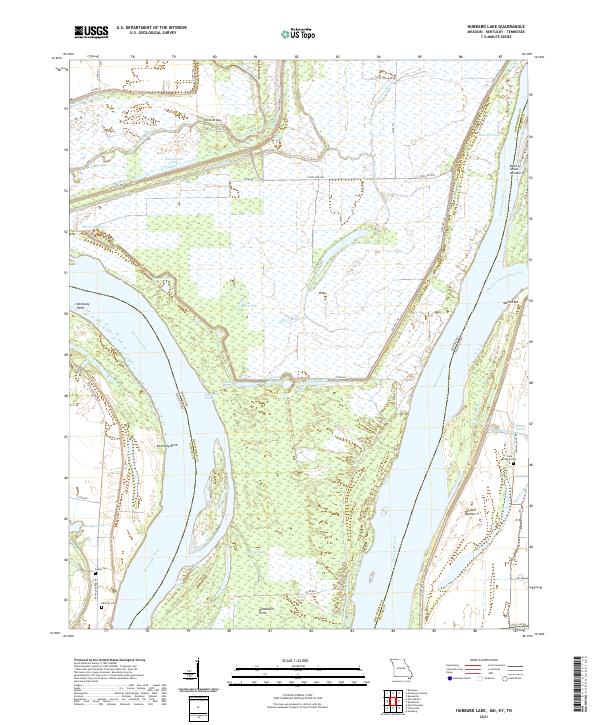
2021 Hubbard Lake
New Madrid County, MO
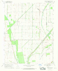
2021 Kewanee
New Madrid County, MO
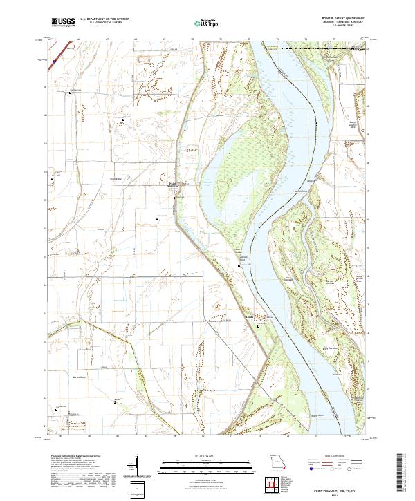
2021 Point Pleasant
New Madrid County, MO
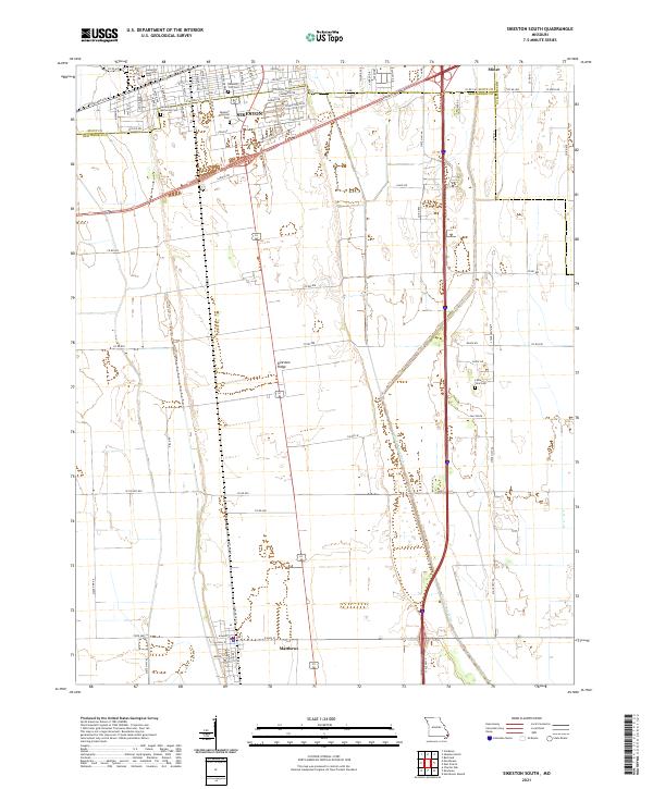
2021 Sikeston South
New Madrid County, MO