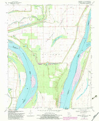
1969 Map of Hubbard Lake
USGS Topo · Published 1983About this map
The Mississippi River defines this landscape where Missouri, Kentucky, and Tennessee meet at the dramatic river bends south of Farrenburg. The 1982 photorevision captures a complex network of levees and man-made drainage, including the Birds Point New Madrid Ditch, designed to manage the New Madrid Floodway. This area is characterized by a series of scour holes and oxbow remnants, such as Hubbard Lake, Fish Lake, and the aptly named Stonewall Lake, which illustrate the river's historical shifts and the engineering efforts to stabilize the current channel.
Find a feature on this map
39 named features on this map. Tap any name to fly to it.
Don’t see what you’re looking for? This feature index may not catch every label — zoom into the map to look around manually.
Map Details
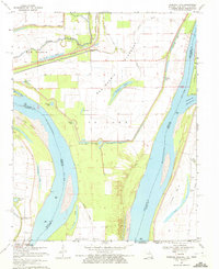
Editions of this 1969 Hubbard Lake Map
2 editions found
Other maps of this area

1925 · Reelfoot Lake
USGS Topo · 1:62,500

1939 · Reelfoot Lake
USGS Topo · 1:62,500

1939 · Portageville
USGS Topo · 1:62,500

1939 · New Madrid
USGS Topo · 1:62,500

1939 · Bayouville
USGS Topo · 1:62,500

1951 · Bondurant
USGS Topo · 1:24,000

1951 · New Madrid SE
USGS Topo · 1:24,000

1951 · Hubbard Lake
USGS Topo · 1:24,000

1954 · New Madrid
USGS Topo · 1:62,500

1955 · Portageville
USGS Topo · 1:62,500