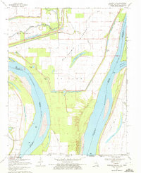
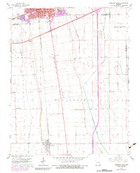
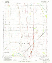
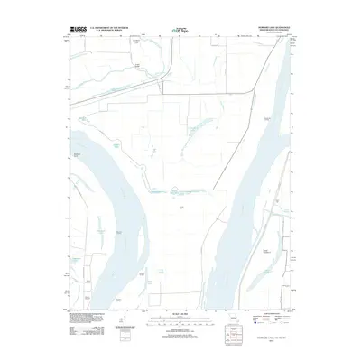
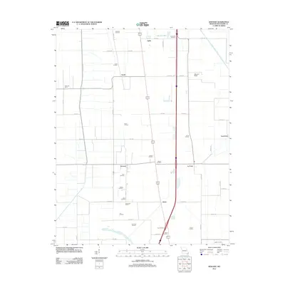
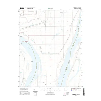
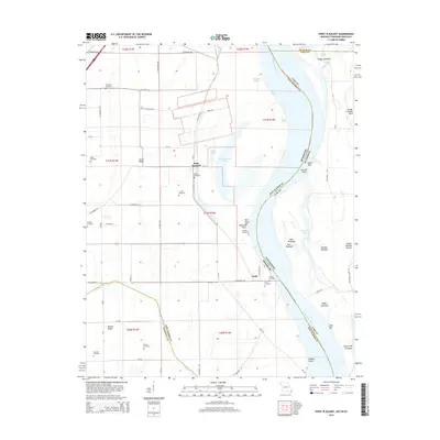
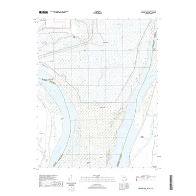
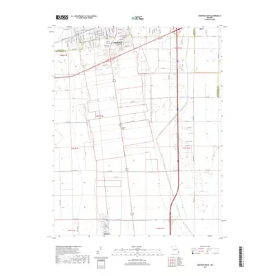
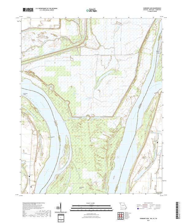
1969 Map of Hubbard Lake
USGS Topo · Published 1972About this map
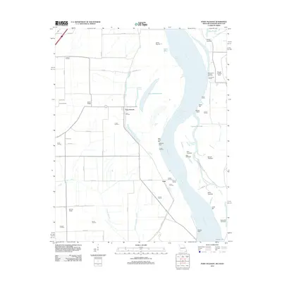
The Mississippi River creates a complex landscape of oxbows, chutes, and depressions at the confluence of Missouri, Kentucky, and Tennessee. This 1969 survey illustrates the intricate water management systems of the era, where the New Madrid Levee and a dedicated Floodway protected the low-lying basins of St John from the river's seasonal shifts. The terrain is defined by numerous named "holes" and former channels, such as Hancock Hole, Morrison Chute, and Stonewall Lake, which reflect the dynamic history of the river's movement.
Find a feature on this map
40 named features on this map. Tap any name to fly to it.
Don’t see what you’re looking for? This feature index may not catch every label — zoom into the map to look around manually.
Map Details
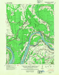
Editions of this 1969 Hubbard Lake Map
2 editions found
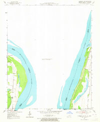
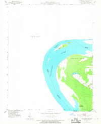
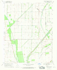
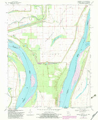
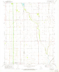
Historical Maps of New Madrid County Through Time
42 maps found
1939 Bayouville
New Madrid County, MO
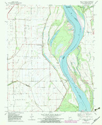
1951 Hubbard Lake
New Madrid County, MO
1951 New Madrid SE
New Madrid County, MO

1955 Bayouville
New Madrid County, MO
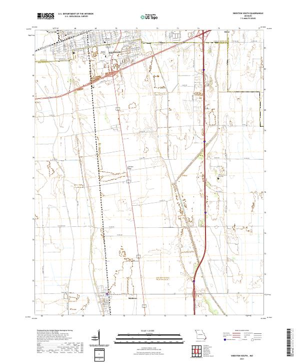
1963 Sikeston South
New Madrid County, MO
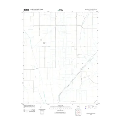
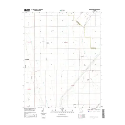
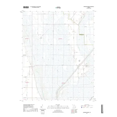
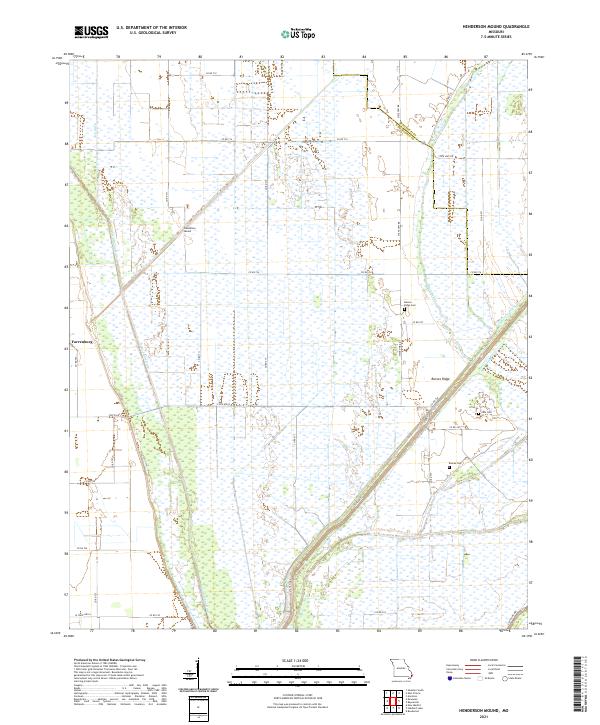
1969 Henderson Mound
New Madrid County, MO
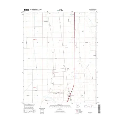
1969 Hubbard Lake
New Madrid County, MO
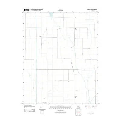
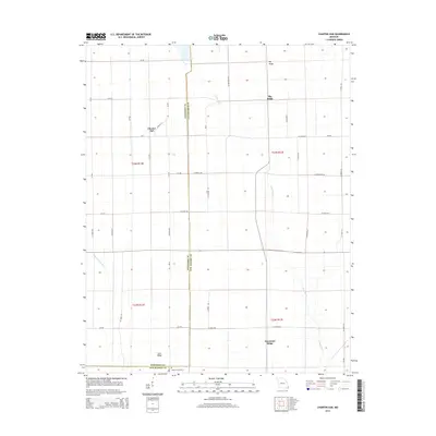
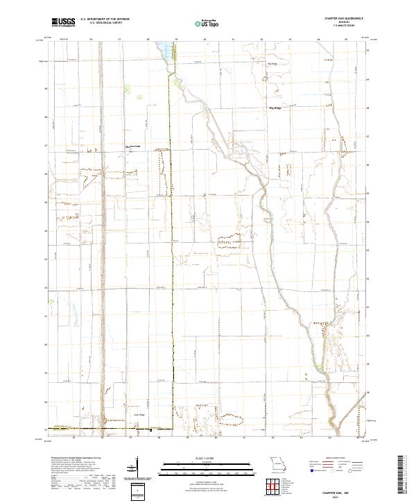
1971 Charter Oak
New Madrid County, MO
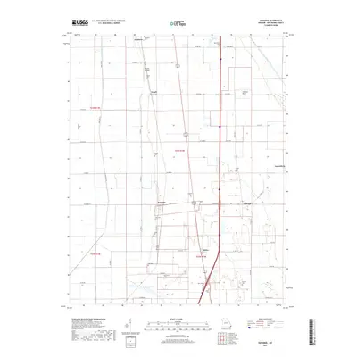
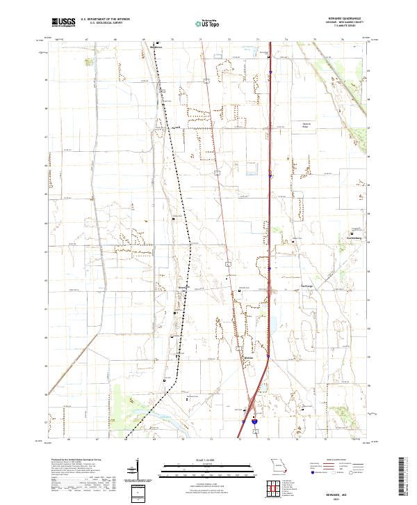
1971 Kewanee
New Madrid County, MO
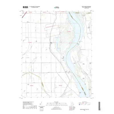
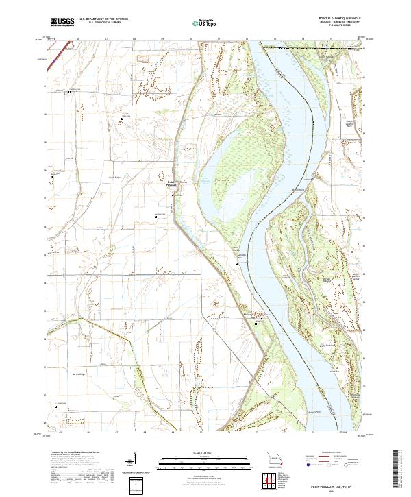
1971 Point Pleasant
New Madrid County, MO

1972 Bayouville
New Madrid County, MO

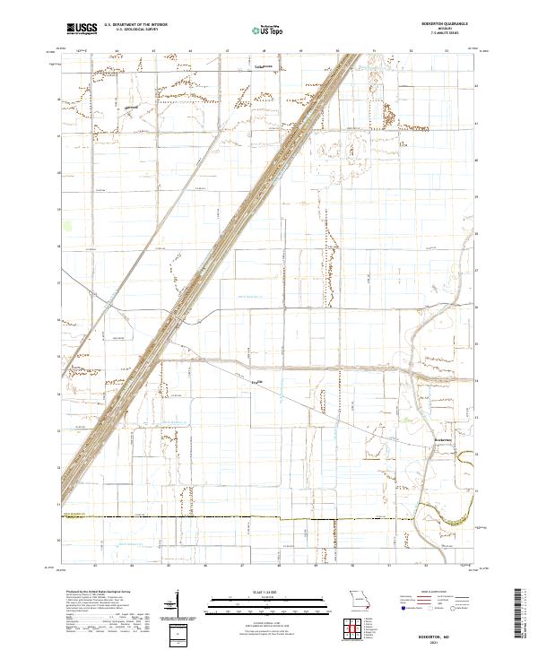
1978 Boekerton
New Madrid County, MO
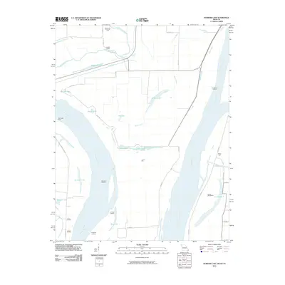
2010 Hubbard Lake
New Madrid County, MO
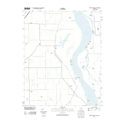
2010 Point Pleasant
New Madrid County, MO
2012 Boekerton
New Madrid County, MO
2012 Charter Oak
New Madrid County, MO
2012 Henderson Mound
New Madrid County, MO
2012 Hubbard Lake
New Madrid County, MO
2012 Kewanee
New Madrid County, MO
2012 Point Pleasant
New Madrid County, MO
2012 Sikeston South
New Madrid County, MO
2015 Boekerton
New Madrid County, MO
2015 Charter Oak
New Madrid County, MO
2015 Henderson Mound
New Madrid County, MO
2015 Hubbard Lake
New Madrid County, MO
2015 Kewanee
New Madrid County, MO
2015 Point Pleasant
New Madrid County, MO
2015 Sikeston South
New Madrid County, MO
2017 Boekerton
New Madrid County, MO
2017 Charter Oak
New Madrid County, MO
2017 Henderson Mound
New Madrid County, MO
2017 Hubbard Lake
New Madrid County, MO
2017 Kewanee
New Madrid County, MO
2017 Point Pleasant
New Madrid County, MO
2017 Sikeston South
New Madrid County, MO
2021 Boekerton
New Madrid County, MO
2021 Charter Oak
New Madrid County, MO
2021 Henderson Mound
New Madrid County, MO
2021 Hubbard Lake
New Madrid County, MO
2021 Kewanee
New Madrid County, MO
2021 Point Pleasant
New Madrid County, MO
2021 Sikeston South
New Madrid County, MO