
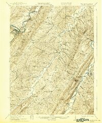
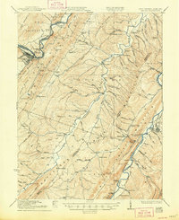
1922 Map of Keyser
USGS Topo · Published 1922About this map
Potomac River and its southern branches define this topographical study of the West Virginia and Maryland borderlands. The landscape is dominated by the parallel ridges of Knobly Mountain and Mill Creek Mountain, which funnel settlement into narrow valleys. The Baltimore and Ohio railroad corridor serves as the primary artery for commerce, connecting the industrial hub of Keyser with smaller riverside communities.
Find a feature on this map
82 named features on this map. Tap any name to fly to it.
Don’t see what you’re looking for? This feature index may not catch every label — zoom into the map to look around manually.
Map Details
Editions of this 1922 Keyser Map
3 editions found
Other maps of this area

1891 · Romney
USGS Topo · 1:125,000

1895 · Piedmont
USGS Topo · 1:125,000

1898 · Frostburg
USGS Topo · 1:62,500

1899 · Flintstone
USGS Topo · 1:62,500

1899 · Grantsville
USGS Topo · 1:62,500

1900 · Flintstone
USGS Topo · 1:62,500

1901 · Frostburg
USGS Topo · 1:62,500

1904 · Grantsville
USGS Topo · 1:62,500

1908 · Frostburg
USGS Topo · 1:62,500

1919 · Elk Garden
USGS Topo · 1:48,000