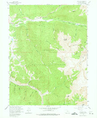
1958 Map of Keystone
USGS Topo · Published 1974About this map
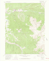
Saints John and the high mountain mining camps of the Tenmile Range dominate this 1950s survey of the Arapaho National Forest. The landscape is a dense network of extraction history, evidenced by the numerous mine dumps, tailings, and active claims like the Saints John Mine and the Ida Belle Mine. Water management for the growing Front Range is visible through the engineering of the Roberts Tunnel and its Diversion Ditch, which redirect flow from the Snake River watershed. While Keystone appears in its earlier form before its later expansion, the map captures the isolation of higher elevations where settlements like Rexford and Swandyke sit along the Swan River and its various forks. From the summit of Independence Mountain to the depths of Grizzly Gulch, the map details a region transitioning from its hard-rock mining roots toward modern water infrastructure and recreational use.
Find a feature on this map
50 named features on this map. Tap any name to fly to it.
Don’t see what you’re looking for? This feature index may not catch every label — zoom into the map to look around manually.
Map Details
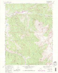
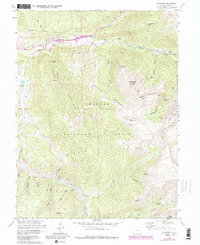
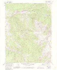
Editions of this 1958 Keystone Map
8 editions found
Other maps of this area

1889 · Leadville
USGS Topo · 1:125,000

1891 · Leadville
USGS Topo · 1:125,000

1924 · Montezuma
USGS Topo · 1:62,500

1926 · Montezuma
USGS Topo · 1:62,500

1929 · Dillon
USGS Topo · 1:62,500

1933 · Montezuma
USGS Topo · 1:62,500

1934 · Climax
USGS Topo · 1:48,000

1934 · Dillon
USGS Topo · 1:62,500

1937 · Como
USGS Topo · 1:62,500

1938 · Mt. Lincoln
USGS Topo · 1:48,000