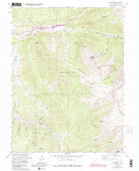
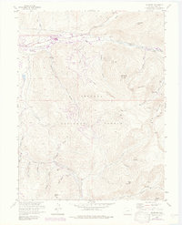
1958 Map of Keystone
USGS Topo · Published 1988About this map
The Snake River valley serves as the focal point for this mountain landscape, showing the early infrastructure of Keystone alongside deep-rooted mining history. While the northern portion of the map highlights the Roberts Diversion Tunnel and municipal developments like the Keystone DMWW, the southern reaches within the Arapaho National Forest reveal a dense network of high-altitude claims. From Saints John near the Saints John Mine to the Wild Irishman Mine, the geography is defined by narrow gulches and steep ridgelines.
Find a feature on this map
55 named features on this map. Tap any name to fly to it.
Don’t see what you’re looking for? This feature index may not catch every label — zoom into the map to look around manually.
Map Details
Editions of this 1958 Keystone Map
8 editions found
Other maps of this area

1889 · Leadville
USGS Topo · 1:125,000

1891 · Leadville
USGS Topo · 1:125,000

1924 · Montezuma
USGS Topo · 1:62,500

1926 · Montezuma
USGS Topo · 1:62,500

1929 · Dillon
USGS Topo · 1:62,500

1933 · Montezuma
USGS Topo · 1:62,500

1934 · Climax
USGS Topo · 1:48,000

1934 · Dillon
USGS Topo · 1:62,500

1937 · Como
USGS Topo · 1:62,500

1938 · Mt. Lincoln
USGS Topo · 1:48,000