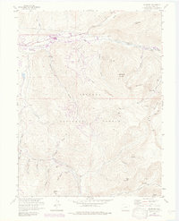
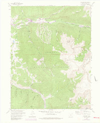
1958 Map of Keystone
USGS Topo · Published 1976About this map
High-altitude mining history and the early footprint of the outdoor recreation industry converge in this 1958 survey of the Summit County mountains. Silver and lead mining remnants are scattered across the high peaks, particularly around Glacier Mountain and the settlement of Saints John. Named mines like the Wild Irishman Mine and Saints John Mine mark the steep slopes above Saints John Creek, while the Hunkidori Mine sits deep within Grizzly Gulch.
Find a feature on this map
43 named features on this map. Tap any name to fly to it.
Don’t see what you’re looking for? This feature index may not catch every label — zoom into the map to look around manually.
Map Details
Editions of this 1958 Keystone Map
8 editions found
Other maps of this area

1889 · Leadville
USGS Topo · 1:125,000

1891 · Leadville
USGS Topo · 1:125,000

1924 · Montezuma
USGS Topo · 1:62,500

1926 · Montezuma
USGS Topo · 1:62,500

1929 · Dillon
USGS Topo · 1:62,500

1933 · Montezuma
USGS Topo · 1:62,500

1934 · Climax
USGS Topo · 1:48,000

1934 · Dillon
USGS Topo · 1:62,500

1937 · Como
USGS Topo · 1:62,500

1938 · Mt. Lincoln
USGS Topo · 1:48,000