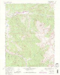
1958 Map of Keystone
USGS Topo · Published 1988About this map
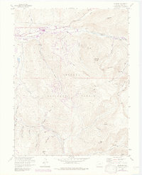
Keystone Mountain and the high ridges of the Arapaho National Forest dominate this mid-century survey, capturing a landscape defined by its mining heritage and water infrastructure. The map documents a significant era of hydraulic engineering, specifically the Roberts Diversion Tunnel and associated ditch systems used by the Denver Municipal Water Works. In the valleys, the small settlement of Keystone sits near the confluence of the Snake River and Soda Creek, while the higher elevations are dotted with historic mining sites like the Saints John Mine and Hunkidori Mine. These lode claims, along with settlements such as Saints John and Swandyke, represent the late-19th-century silver and gold rush legacy that shaped Summit County. The terrain is marked by deep glacial drainages, including Keystone Gulch and Muggins Gulch, which served as the primary corridors for early transportation and resource extraction.
Find a feature on this map
53 named features on this map. Tap any name to fly to it.
Don’t see what you’re looking for? This feature index may not catch every label — zoom into the map to look around manually.
Map Details
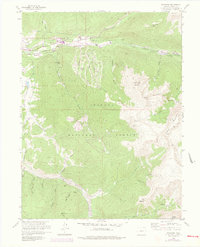
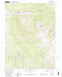
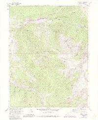
Editions of this 1958 Keystone Map
8 editions found
Other maps of this area

1889 · Leadville
USGS Topo · 1:125,000

1891 · Leadville
USGS Topo · 1:125,000

1924 · Montezuma
USGS Topo · 1:62,500

1926 · Montezuma
USGS Topo · 1:62,500

1929 · Dillon
USGS Topo · 1:62,500

1933 · Montezuma
USGS Topo · 1:62,500

1934 · Climax
USGS Topo · 1:48,000

1934 · Dillon
USGS Topo · 1:62,500

1937 · Como
USGS Topo · 1:62,500

1938 · Mt. Lincoln
USGS Topo · 1:48,000