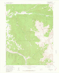
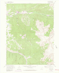
1958 Map of Keystone
USGS Topo · Published 1963About this map
Keystone and the high peaks of the Arapaho National Forest define this 1958 survey, conducted as the infrastructure of the Continental Divide was being reshaped. Significant engineering is evident in the Harold D Roberts Tunnel and a Diversion Ditch near the North Fork Snake River, reflecting the Denver Municipal Water Works' influence on the drainage basin.
Find a feature on this map
48 named features on this map. Tap any name to fly to it.
Don’t see what you’re looking for? This feature index may not catch every label — zoom into the map to look around manually.
Map Details
Editions of this 1958 Keystone Map
8 editions found
Other maps of this area

1889 · Leadville
USGS Topo · 1:125,000

1891 · Leadville
USGS Topo · 1:125,000

1924 · Montezuma
USGS Topo · 1:62,500

1926 · Montezuma
USGS Topo · 1:62,500

1929 · Dillon
USGS Topo · 1:62,500

1933 · Montezuma
USGS Topo · 1:62,500

1934 · Climax
USGS Topo · 1:48,000

1934 · Dillon
USGS Topo · 1:62,500

1937 · Como
USGS Topo · 1:62,500

1938 · Mt. Lincoln
USGS Topo · 1:48,000