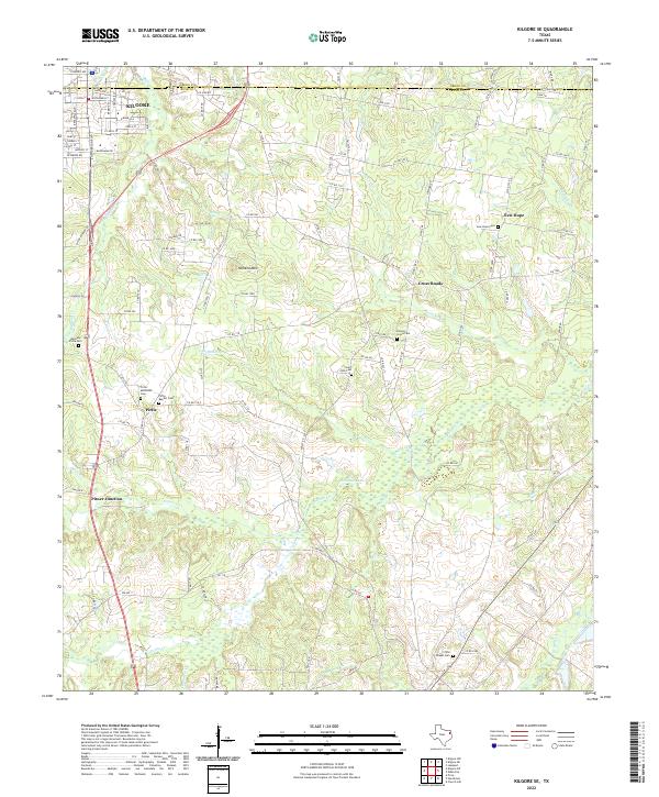
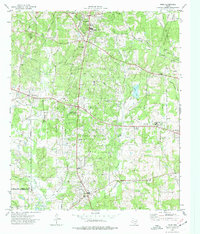
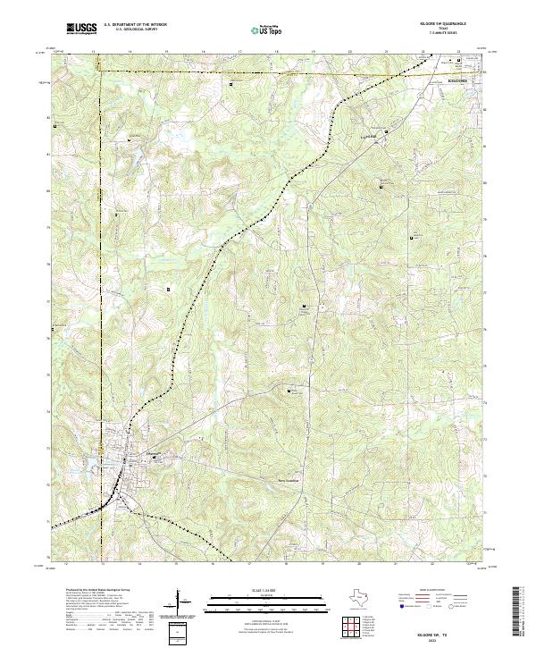
2022 Map of Kilgore SE
USGS Topo · Published 2022About this map
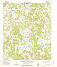
Pirtle and its neighboring rural communities anchor this landscape southeast of Kilgore, where the terrain transitions from the edges of the city into the wooded drainage basins of East Texas. The map reveals a dense concentration of local heritage sites, particularly along the county line separating Gregg County and Rusk County. Prominent family and community landmarks such as the Pirtle Methodist Cemetery and Pirtle Baptist Cemetery suggest a deeply rooted settlement pattern, while names like Pitner Junction and Cross Roads mark historically significant transit points.
Find a feature on this map
59 named features on this map. Tap any name to fly to it.
Don’t see what you’re looking for? This feature index may not catch every label — zoom into the map to look around manually.
Map Details
Editions of this 2022 Kilgore SE Map
This is the sole edition of this map. No revisions or reprints were ever made.
Historical Maps of Pirtle Through Time
23 maps found
1960 Minden
Rusk County, TX
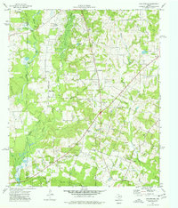
1971 Kilgore SE
Rusk County, TX
1971 Kilgore SW
Rusk County, TX
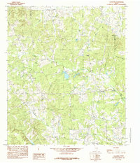
1973 Berryhill Creek
Rusk County, TX
1973 Gum Springs
Rusk County, TX
1973 Laneville
Rusk County, TX
1973 New Salem
Rusk County, TX
1973 Price
Rusk County, TX
1983 Church Hill
Rusk County, TX
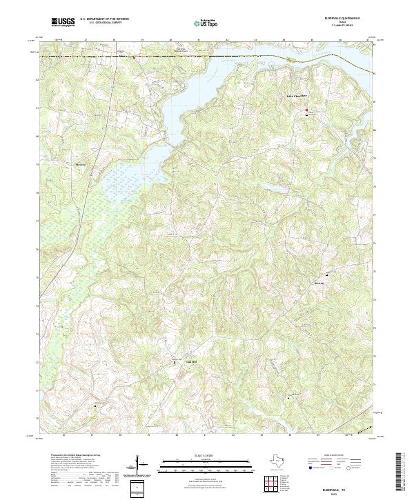
1983 Elderville
Rusk County, TX
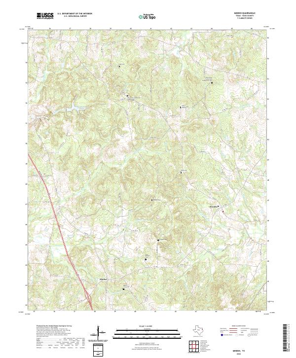
1983 Minden
Rusk County, TX
1984 Caledonia
Rusk County, TX
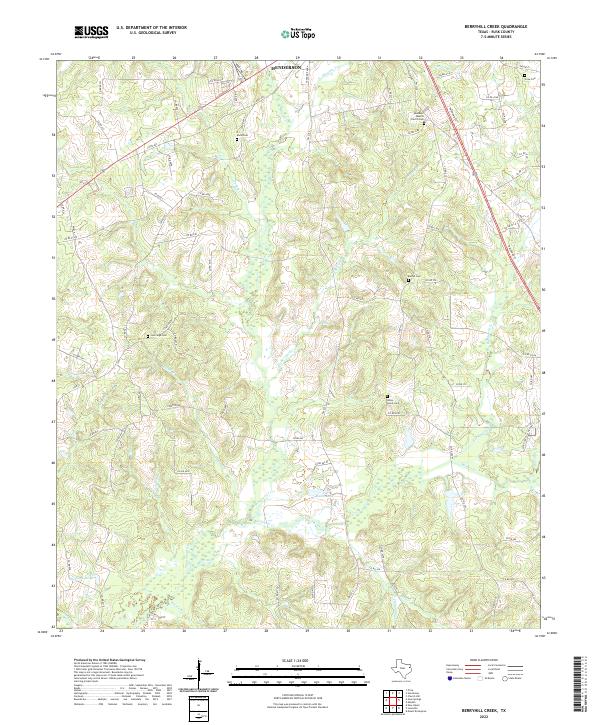
2022 Berryhill Creek
Rusk County, TX
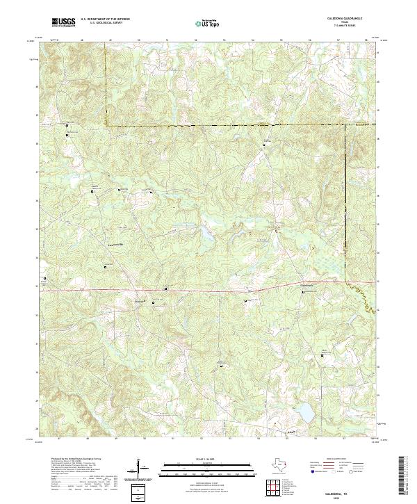
2022 Caledonia
Rusk County, TX
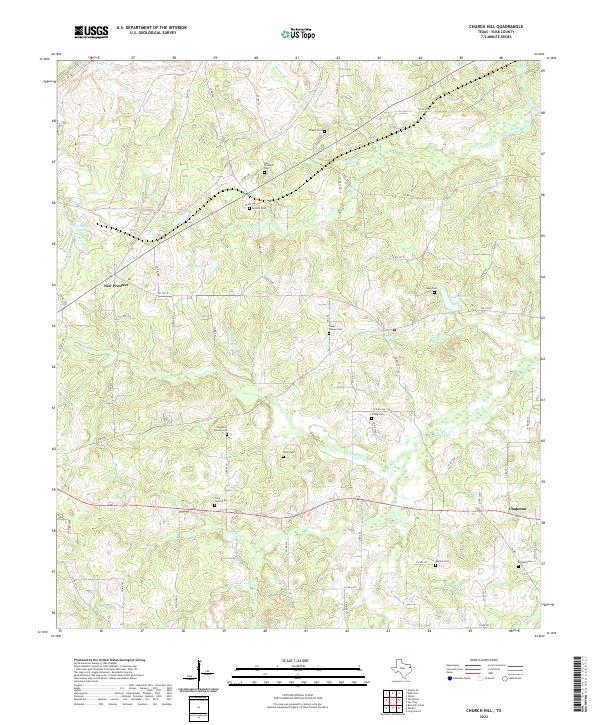
2022 Church Hill
Rusk County, TX
2022 Elderville
Rusk County, TX
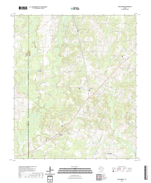
2022 Gum Springs
Rusk County, TX
2022 Kilgore SE
Rusk County, TX
2022 Kilgore SW
Rusk County, TX
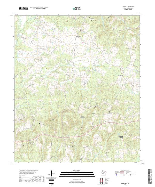
2022 Laneville
Rusk County, TX
2022 Minden
Rusk County, TX
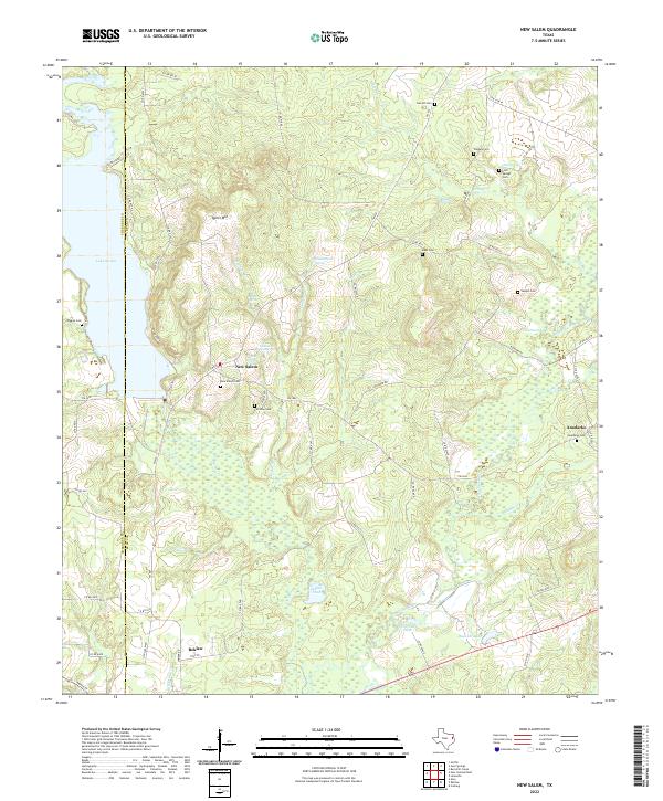
2022 New Salem
Rusk County, TX
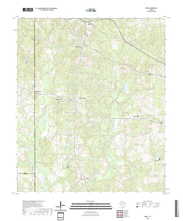
2022 Price
Rusk County, TX