
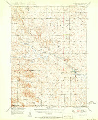
1951 Map of Kilpatrick Lake
USGS Topo · Published 1951About this map
The High Plains ranching culture of western Nebraska is prominently displayed in this 1951 survey, where the Snake Creek watershed organizes the remote landscape. The map centers on the border of Sioux and Box Butte Counties, illustrating a decentralized settlement pattern dominated by established family holdings like Hall Ranch, Cook Ranch, and Henderson Ranch. This era of western Nebraska was defined by large-scale cattle operations and isolated rural institutions, as seen in the numbered schools spaced across the townships, such as School No. 31 and School No. 35.
Find a feature on this map
30 named features on this map. Tap any name to fly to it.
Don’t see what you’re looking for? This feature index may not catch every label — zoom into the map to look around manually.
Map Details
Editions of this 1951 Kilpatrick Lake Map
2 editions found
Other maps of this area

1898 · Scotts Bluff
USGS Topo · 1:125,000

1898 · Camp Clarke
USGS Topo · 1:125,000

1899 · Whistle Creek
USGS Topo · 1:125,000

1946 · Nonpareil
USGS Topo · 1:24,000

1948 · Hemingford 4 SW
USGS Topo · 1:24,000

1948 · Hemingford 4 NW
USGS Topo · 1:24,000

1948 · Nonpareil
USGS Topo · 1:24,000

1951 · Marsland
USGS Topo · 1:62,500

1954 · Scottsbluff
USGS Topo · 1:250,000

1955 · Alliance
USGS Topo · 1:250,000
Featured Places
- Sheep Creek Precinct, NE
- Whistle Creek Precinct, NE
- Scotts Bluff County, NE
- Morrill County, NE
- Box Butte County, NE