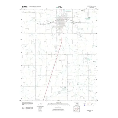
2009 Map of Kingfisher
USGS Topo · Published 2009About this map
The town of Kingfisher serves as the central hub of this Oklahoma landscape, defined by a dense grid of streets and a network of arterial roads like Elk Ave and S 13th St. The area's water management is a dominant theme, with numerous dammed sites and reservoirs, including the Uncle John Creek Site 14 Reservoir and Oknoname 07309 Reservoir. These features, along with the Kingfisher Sewage Disposal Pond, illustrate the intersection of municipal infrastructure and the natural hydrology of Uncle Johns Creek and Kingfisher Creek. Outside the town center, the land is marked by local aviation and community landmarks, such as Kingfisher Airport, Reherman Airport, and the large Kingfisher Cemetery to the west. This 2009 survey highlights a prairie community where section-line roads like E0830 Rd and N2840 Rd organize the rural expanse surrounding the settlement.
Find a feature on this map
41 named features on this map. Tap any name to fly to it.
Don’t see what you’re looking for? This feature index may not catch every label — zoom into the map to look around manually.
Map Details
Editions of this 2009 Kingfisher Map
This is the sole edition of this map. No revisions or reprints were ever made.
Other maps of this area

1892 · Kingfisher
USGS Topo · 1:125,000

1893 · Fort Reno
USGS Topo · 1:62,500

1893 · Loyal
USGS Topo · 1:62,500

1895 · Kingfisher
USGS Topo · 1:125,000

1941 · Fort Reno
USGS Topo · 1:62,500

1942 · Fort Reno
USGS Topo · 1:62,500

1949 · Fort Reno
USGS Topo · 1:62,500

1954 · Oklahoma City
USGS Topo · 1:250,000

1955 · Clinton
USGS Topo · 1:250,000

1957 · Clinton
USGS Topo · 1:250,000