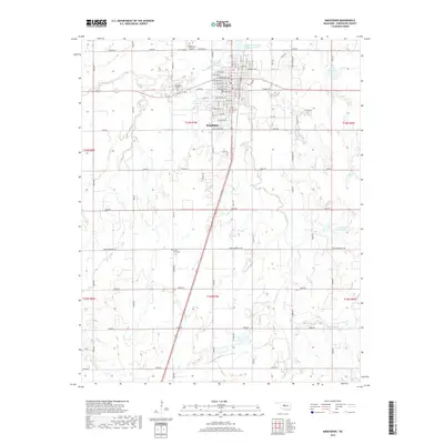
2018 Map of Kingfisher
USGS Topo · Published 2018About this map
Kingfisher sits at the intersection of agricultural heritage and modern transit, centered on the grid of streets like W Broadway Ave and E Roberts Ave. The town's expansion is documented through its northern neighborhood developments and proximity to Kingfisher Airport. The landscape is defined by the winding course of Kingfisher Cr to the north and Uncle Johns Cr to the east, providing drainage for the surrounding plains. Genealogists and local historians can locate Kingfisher Cem and the more remote Union Hall Cem to the southwest. The presence of water management features, such as the Uncle John Cr Site 14 Reservoir, illustrates the modern infrastructure supporting this Oklahoma community. The map also traces historical route markers like Chisholm Dr, nodding to the region's legacy as a transit corridor.
Find a feature on this map
51 named features on this map. Tap any name to fly to it.
Don’t see what you’re looking for? This feature index may not catch every label — zoom into the map to look around manually.
Map Details
Editions of this 2018 Kingfisher Map
This is the sole edition of this map. No revisions or reprints were ever made.
Other maps of this area

1892 · Kingfisher
USGS Topo · 1:125,000

1893 · Fort Reno
USGS Topo · 1:62,500

1893 · Loyal
USGS Topo · 1:62,500

1895 · Kingfisher
USGS Topo · 1:125,000

1941 · Fort Reno
USGS Topo · 1:62,500

1942 · Fort Reno
USGS Topo · 1:62,500

1949 · Fort Reno
USGS Topo · 1:62,500

1954 · Oklahoma City
USGS Topo · 1:250,000

1955 · Clinton
USGS Topo · 1:250,000

1957 · Clinton
USGS Topo · 1:250,000