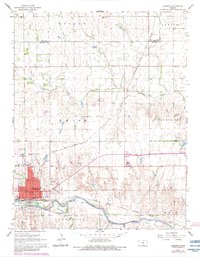
1967 Map of Kingman
USGS Topo · Published 1983About this map
The South Fork Ninnescah River anchors the southern landscape of this Kansas region, where the Atchison Topeka and Santa Fe railroad serves as the primary artery for local commerce and transport. The city of Kingman dominates the southwestern corner, showing a detailed mid-century civic infrastructure including the County Fairgrounds, Kingman Municipal Airport, and several institutions such as St Patricks Sch and Walnut Hill Cemetery.
Find a feature on this map
35 named features on this map. Tap any name to fly to it.
Don’t see what you’re looking for? This feature index may not catch every label — zoom into the map to look around manually.
Map Details
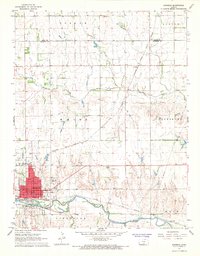
Editions of this 1967 Kingman Map
2 editions found
Other maps of this area

1889 · Cheney
USGS Topo · 1:125,000

1891 · Cheney
USGS Topo · 1:125,000

1892 · Kingman
USGS Topo · 1:125,000

1894 · Kingman
USGS Topo · 1:125,000

1901 · Cheney
USGS Topo · 1:125,000

1955 · Wichita
USGS Topo · 1:250,000

1955 · Pratt
USGS Topo · 1:250,000

1958 · Wichita
USGS Topo · 1:250,000

1959 · Pratt
USGS Topo · 1:250,000
1965 · Waterloo
USGS Topo · 1:24,000