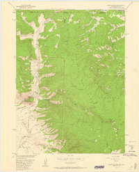
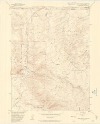
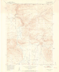
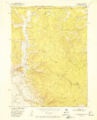
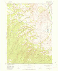
1950 Map of Kings Canyon
USGS Topo · Published 1959About this map
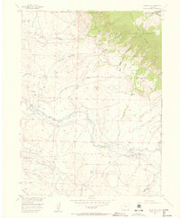
The Colorado-Wyoming border territory documented in this 1950 field check centers on the high-altitude resource extraction and agricultural engineering within the Medicine Bow National Forest. The map details a landscape defined by its mining history, notably the Village Belle Mine and the Kings Canyon Mine, along with various Mine Shafts scattered across the slopes of Pinkham Mountain. This era of development saw the construction of significant irrigation infrastructure like the Hardwork Ditch and Allard Ditch, reflecting the necessity of water management in the arid mountain terrain.
Find a feature on this map
34 named features on this map. Tap any name to fly to it.
Don’t see what you’re looking for? This feature index may not catch every label — zoom into the map to look around manually.
Map Details
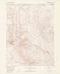
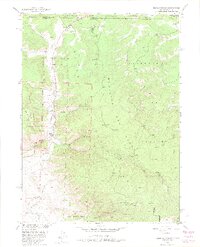
Editions of this 1950 Kings Canyon Map
4 editions found
Other maps of this area

1906 · Medicine Bow
USGS Topo · 1:125,000

1908 · Medicine Bow
USGS Topo · 1:125,000
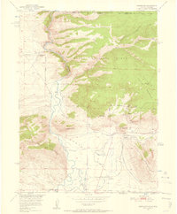
1950 · Northgate
USGS Topo · 1:24,000
1950 · Kings Canyon
USGS Topo · 1:24,000
1952 · Northgate
USGS Topo · 1:24,000
1952 · Kings Canyon
USGS Topo · 1:24,000

1954 · Rawlins
USGS Topo · 1:250,000

1954 · Craig
USGS Topo · 1:250,000
1955 · Old Roach
USGS Topo · 1:24,000
1955 · Eagle Hill
USGS Topo · 1:24,000