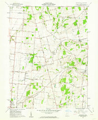
1961 Map of Kingscreek
USGS Topo · Published 1962About this map
Ohio Caverns and the subterranean landscape of northern Champaign County anchor this early 1960s survey, where the rolling hills of Monroe and Salem townships meet the agricultural plains of western Ohio. The landscape is defined by a dense network of country roads named for local families and early destinations, such as Macochea Road and Slate Stone Road. Small rail-oriented settlements like Kennard and Mingo mark the paths of the Erie Lackawanna and Pennsylvania railroads, which once facilitated the transport of local agricultural goods.
Find a feature on this map
68 named features on this map. Tap any name to fly to it.
Don’t see what you’re looking for? This feature index may not catch every label — zoom into the map to look around manually.
Map Details
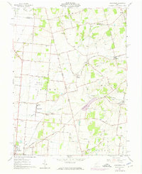
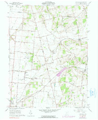
Editions of this 1961 Kingscreek Map
Other maps of this area

1913 · Bellefontaine
USGS Topo · 1:48,000

1913 · East Liberty
USGS Topo · 1:62,500

1914 · St. Paris
USGS Topo · 1:62,500

1914 · Mechanicsburg
USGS Topo · 1:62,500

1915 · Bellefontaine
USGS Topo · 1:62,500

1915 · East Liberty
USGS Topo · 1:62,500

1916 · Mechanicsburg
USGS Topo · 1:62,500

1916 · St. Paris
USGS Topo · 1:62,500

1944 · East Liberty
USGS Topo · 1:62,500

1944 · Mechanicsburg
USGS Topo · 1:62,500